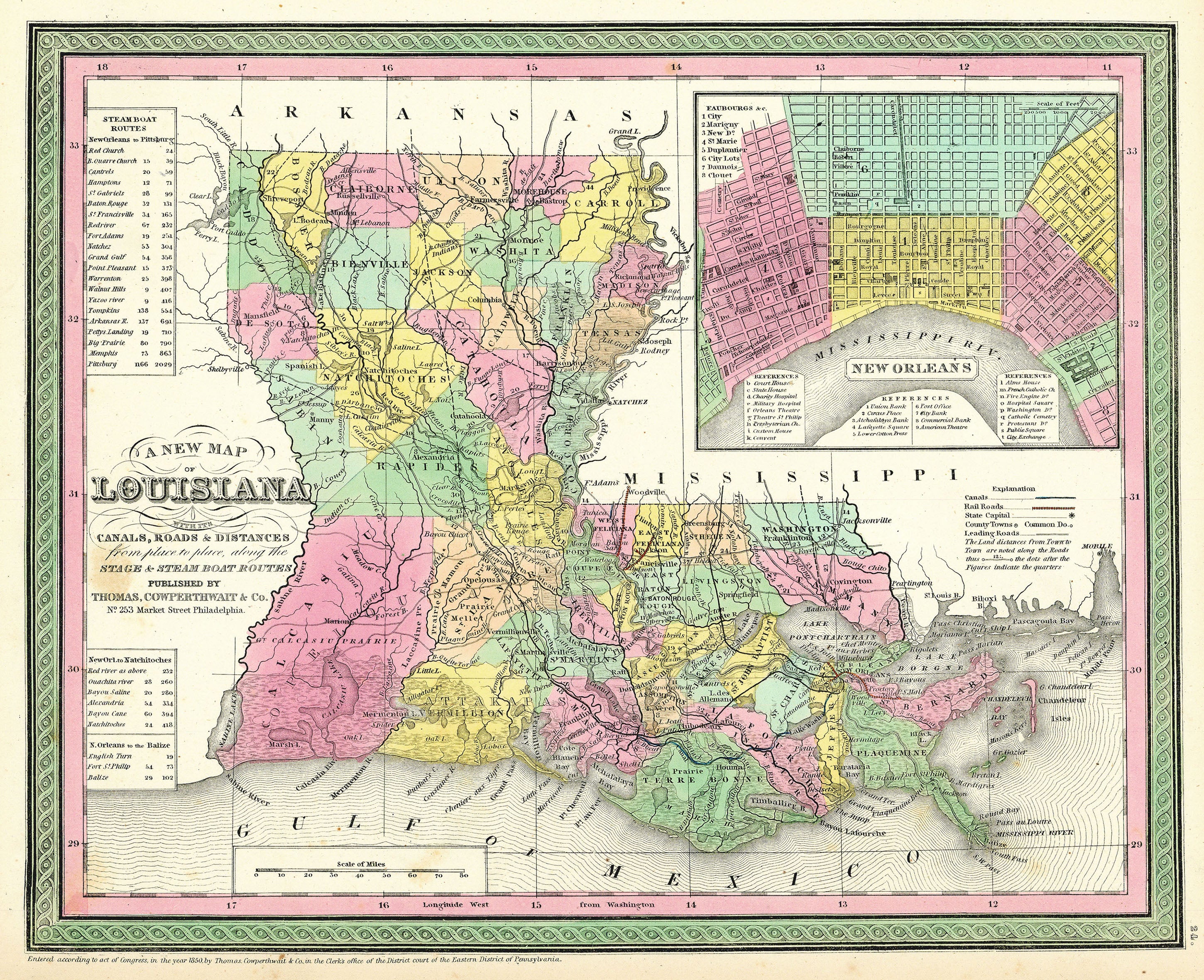
A New Map of Louisiana: Thomas, Cowperthwait & Co. 1850
- Title: A New Map of Louisiana
- Author: Thomas, Cowperthwait & Co.
- Date: 1850
- Medium: Hand-colored engraving
- Condition: Very Good Plus - light age toning and foxing
- Inches: 17 x 14 [Paper]
- Centimeters: 43.18 x 35.56 [Paper]
- Product ID: 102184
Map of Louisiana published by Thomas, Cowperthwait & Co. in Philadelphia. Features an inset map in the upper right corner of the city of New Orleans with a series of numbered indexes. Along the left-hand border appear statistical charts related to steamboat route distances between New Orleans and Pittsburg, Natchitoches, and La Balize [historic French fort] at the mouth of the Mississippi.
- Title: A New Map of Louisiana
- Author: Thomas, Cowperthwait & Co.
- Date: 1850
- Medium: Hand-colored engraving
- Condition: Very Good Plus - light age toning and foxing
- Inches: 17 x 14 [Paper]
- Centimeters: 43.18 x 35.56 [Paper]
- Product ID: 102184
Map of Louisiana published by Thomas, Cowperthwait & Co. in Philadelphia. Features an inset map in the upper right corner of the city of New Orleans with a series of numbered indexes. Along the left-hand border appear statistical charts related to steamboat route distances between New Orleans and Pittsburg, Natchitoches, and La Balize [historic French fort] at the mouth of the Mississippi.
Description
- Title: A New Map of Louisiana
- Author: Thomas, Cowperthwait & Co.
- Date: 1850
- Medium: Hand-colored engraving
- Condition: Very Good Plus - light age toning and foxing
- Inches: 17 x 14 [Paper]
- Centimeters: 43.18 x 35.56 [Paper]
- Product ID: 102184
Map of Louisiana published by Thomas, Cowperthwait & Co. in Philadelphia. Features an inset map in the upper right corner of the city of New Orleans with a series of numbered indexes. Along the left-hand border appear statistical charts related to steamboat route distances between New Orleans and Pittsburg, Natchitoches, and La Balize [historic French fort] at the mouth of the Mississippi.











