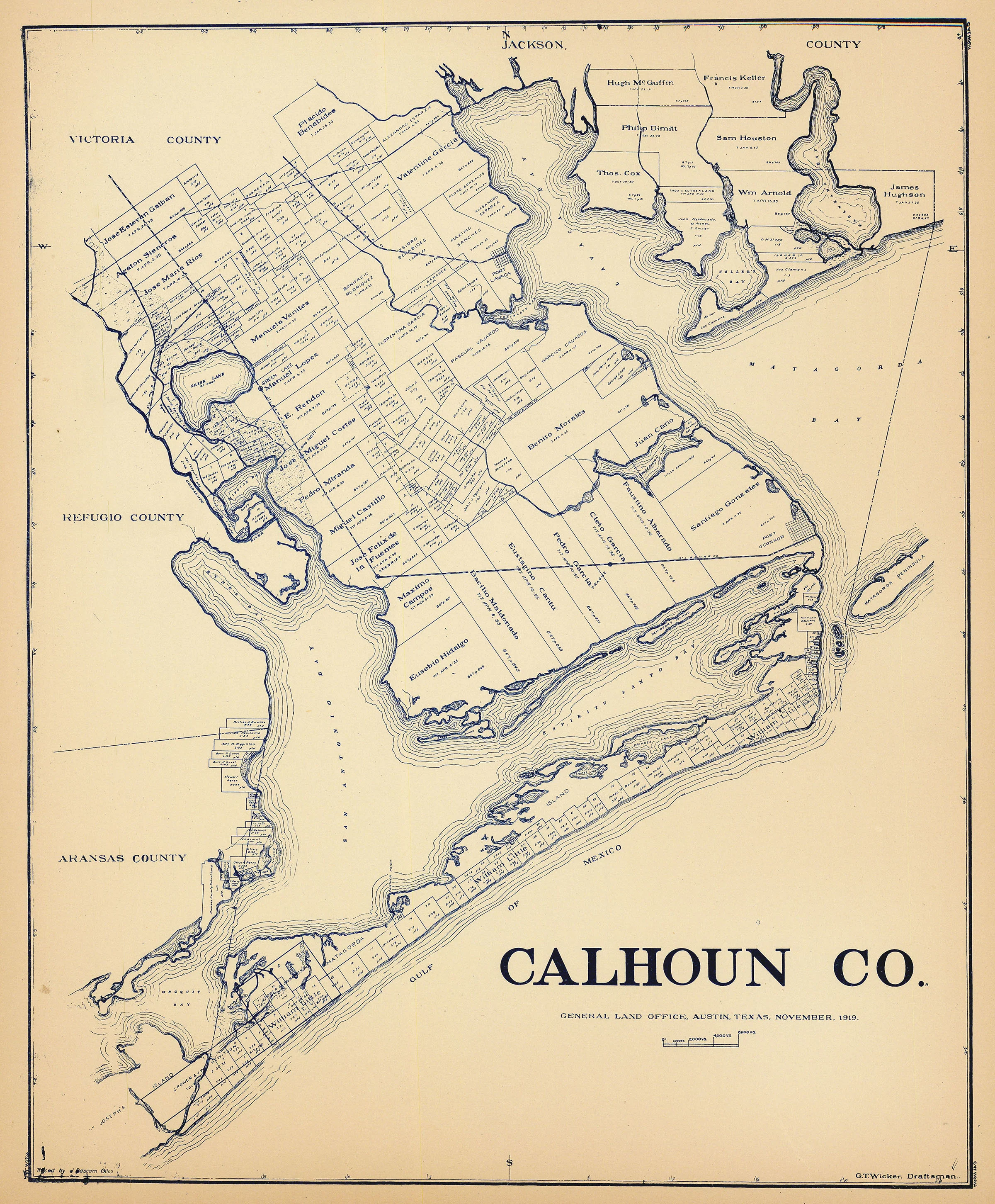
Calhoun Co.: Texas General Land Office 1919
- Title: Calhoun Co.
- Author: Texas General Land Office
- Date: 1919
- Medium: Lithograph
- Condition: Very Good Plus - age toning
- Inches: 14 x 16 [Paper]
- Centimeters: 35.56 x 40.64 [Paper]
- Product ID: 3110050
Antique map of Calhoun County along the Gulf Coast by the Texas General Land Office in Austin, Texas. Includes Mesquite Bay, Matagorda Bay, Lavaca Bay, San Antonio Bay, Matagorda Island, and the Guadalupe River. Adjacent counties include Aransas, Refugio, Victoria, and Jackson. Map labels properties owned by Sam Houston and other prominent Texans
- Title: Calhoun Co.
- Author: Texas General Land Office
- Date: 1919
- Medium: Lithograph
- Condition: Very Good Plus - age toning
- Inches: 14 x 16 [Paper]
- Centimeters: 35.56 x 40.64 [Paper]
- Product ID: 3110050
Antique map of Calhoun County along the Gulf Coast by the Texas General Land Office in Austin, Texas. Includes Mesquite Bay, Matagorda Bay, Lavaca Bay, San Antonio Bay, Matagorda Island, and the Guadalupe River. Adjacent counties include Aransas, Refugio, Victoria, and Jackson. Map labels properties owned by Sam Houston and other prominent Texans
Description
- Title: Calhoun Co.
- Author: Texas General Land Office
- Date: 1919
- Medium: Lithograph
- Condition: Very Good Plus - age toning
- Inches: 14 x 16 [Paper]
- Centimeters: 35.56 x 40.64 [Paper]
- Product ID: 3110050
Antique map of Calhoun County along the Gulf Coast by the Texas General Land Office in Austin, Texas. Includes Mesquite Bay, Matagorda Bay, Lavaca Bay, San Antonio Bay, Matagorda Island, and the Guadalupe River. Adjacent counties include Aransas, Refugio, Victoria, and Jackson. Map labels properties owned by Sam Houston and other prominent Texans











