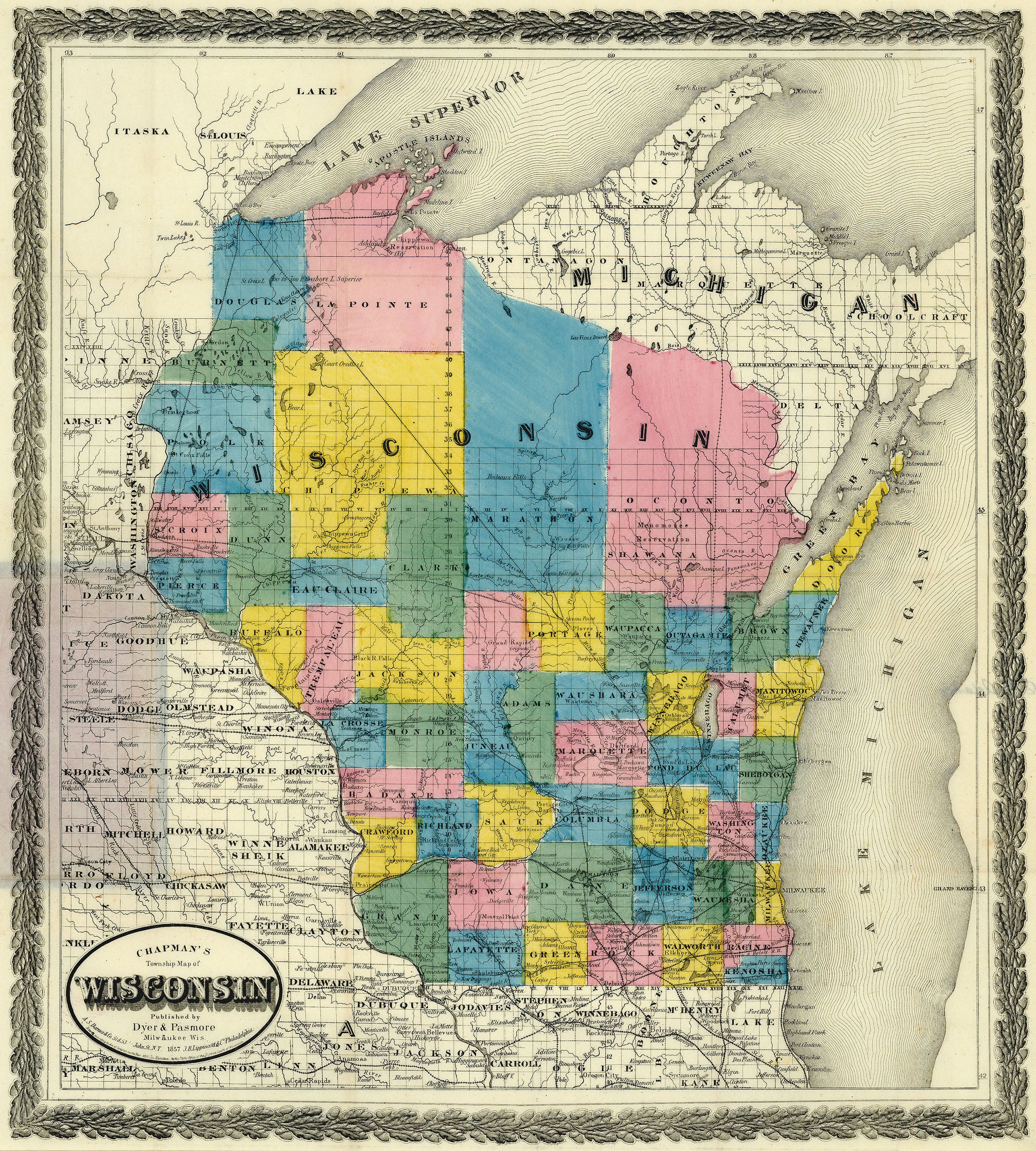
Chapman's Township Map of Wisconsin: Chapman 1857
- Title: Chapman's Township Map of Wisconsin
- Author: Silas Chapman
- Date: 1857
- Medium: Hand-colored lithograph
- Condition: Very Good Plus - light age toning, issued folds, original hardcover binding, delicate paper
- Inches: 16 3/4 x 18 1/4 [Image]
- Centimeters: 42.55 x 46.36 [Image]
- Product ID: 309005
Chapman's
Township Map of
Wisconsin
Published by
Dyer & Pasmore
Milwaukee Wis.
A. S. Barnes & Co. 51 & 53 John St. N. Y. 1857 J. B. Lippincott & Co. Philadelphia
Entered according to Act of Congress in the year 1857 Jos. Hamilton in the Clerks Office of the District Court of the State of Wisconsin.
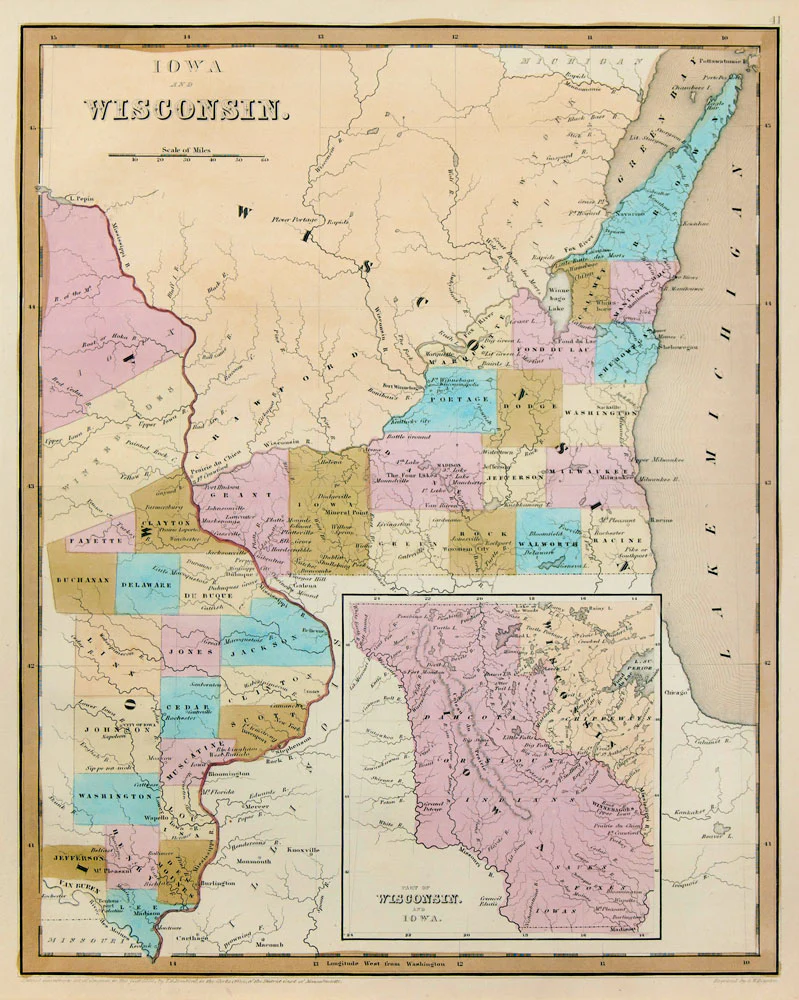
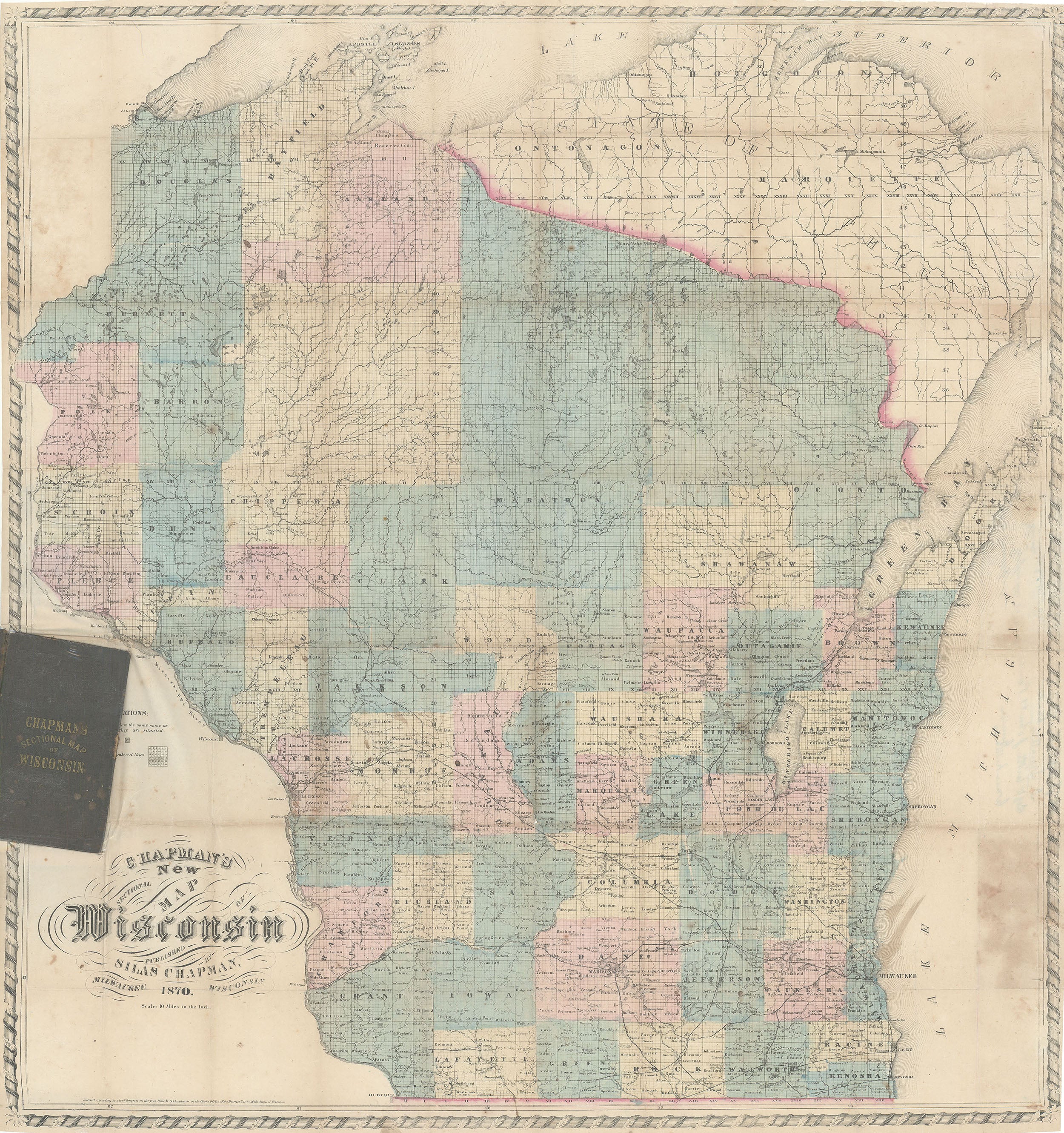
Nineteenth-century folding map of Wisconsin divided into its various counties. Includes Lake Superior, Lake Michigan, Green Bay, Michigan's Upper Peninsula, and parts of Minnesota, Iowa, and Illinois.
- Title: Chapman's Township Map of Wisconsin
- Author: Silas Chapman
- Date: 1857
- Medium: Hand-colored lithograph
- Condition: Very Good Plus - light age toning, issued folds, original hardcover binding, delicate paper
- Inches: 16 3/4 x 18 1/4 [Image]
- Centimeters: 42.55 x 46.36 [Image]
- Product ID: 309005
Chapman's
Township Map of
Wisconsin
Published by
Dyer & Pasmore
Milwaukee Wis.
A. S. Barnes & Co. 51 & 53 John St. N. Y. 1857 J. B. Lippincott & Co. Philadelphia
Entered according to Act of Congress in the year 1857 Jos. Hamilton in the Clerks Office of the District Court of the State of Wisconsin.
Nineteenth-century folding map of Wisconsin divided into its various counties. Includes Lake Superior, Lake Michigan, Green Bay, Michigan's Upper Peninsula, and parts of Minnesota, Iowa, and Illinois.
$315.00
Original: $900.00
-65%Chapman's Township Map of Wisconsin: Chapman 1857—
$900.00
$315.00Description
- Title: Chapman's Township Map of Wisconsin
- Author: Silas Chapman
- Date: 1857
- Medium: Hand-colored lithograph
- Condition: Very Good Plus - light age toning, issued folds, original hardcover binding, delicate paper
- Inches: 16 3/4 x 18 1/4 [Image]
- Centimeters: 42.55 x 46.36 [Image]
- Product ID: 309005
Chapman's
Township Map of
Wisconsin
Published by
Dyer & Pasmore
Milwaukee Wis.
A. S. Barnes & Co. 51 & 53 John St. N. Y. 1857 J. B. Lippincott & Co. Philadelphia
Entered according to Act of Congress in the year 1857 Jos. Hamilton in the Clerks Office of the District Court of the State of Wisconsin.
Nineteenth-century folding map of Wisconsin divided into its various counties. Includes Lake Superior, Lake Michigan, Green Bay, Michigan's Upper Peninsula, and parts of Minnesota, Iowa, and Illinois.