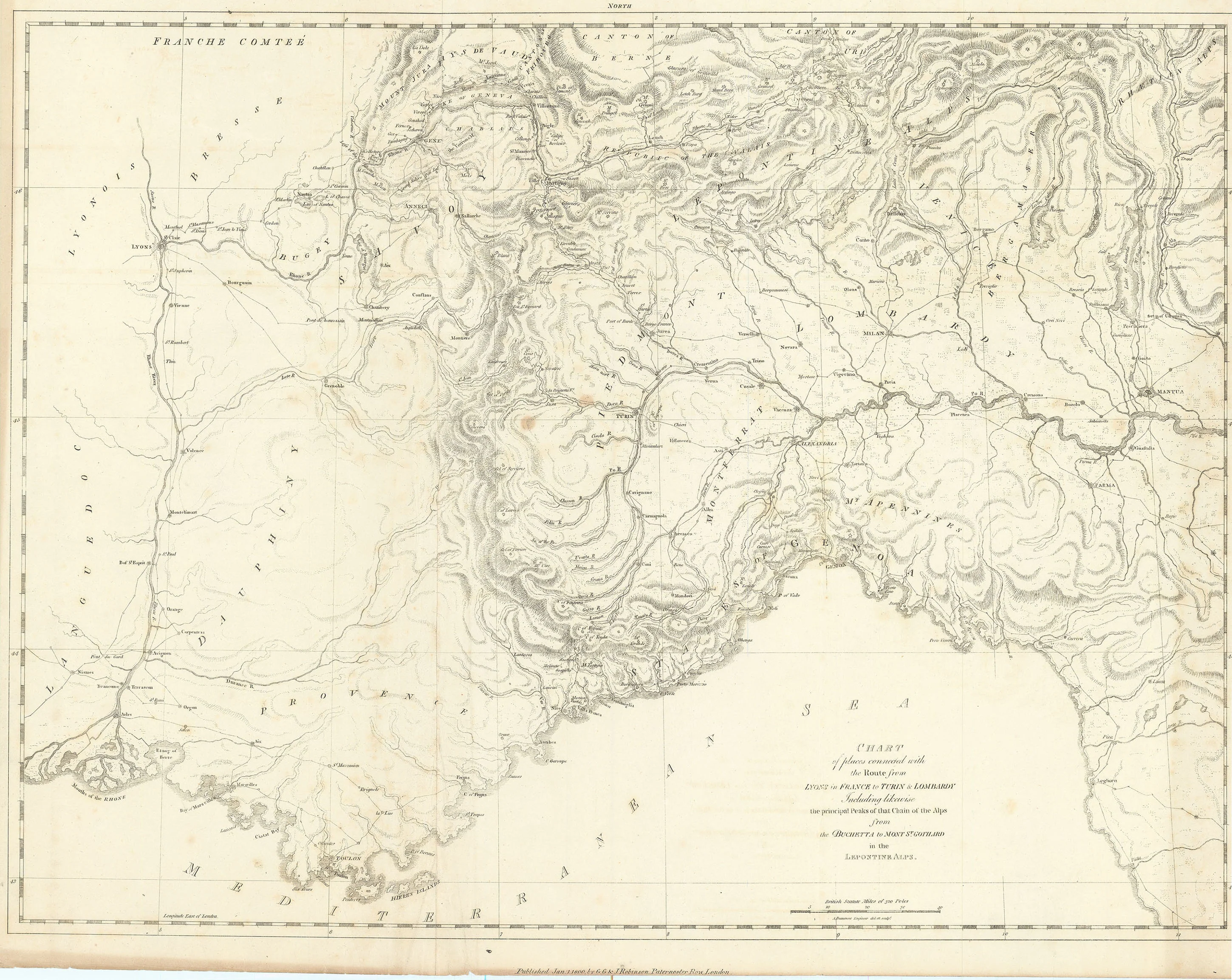
Chart of Places Connected with the Route from Lyons in France to Turin & Lombardy: Robinson 1800
- Title: Chart of Places Connected with the Route from Lyons in France to Turin & Lombardy
- Author: G. G. & J. Robinson
- Date: 1800
- Medium: Copperplate engraving
- Condition: Very Good - light age toning, issued folding, foxing, discoloration near margins
- Inches: 25 7/8 x 20 [Paper]
- Centimeters: 65.72 x 50.8 [Paper]
- Product ID: 100510
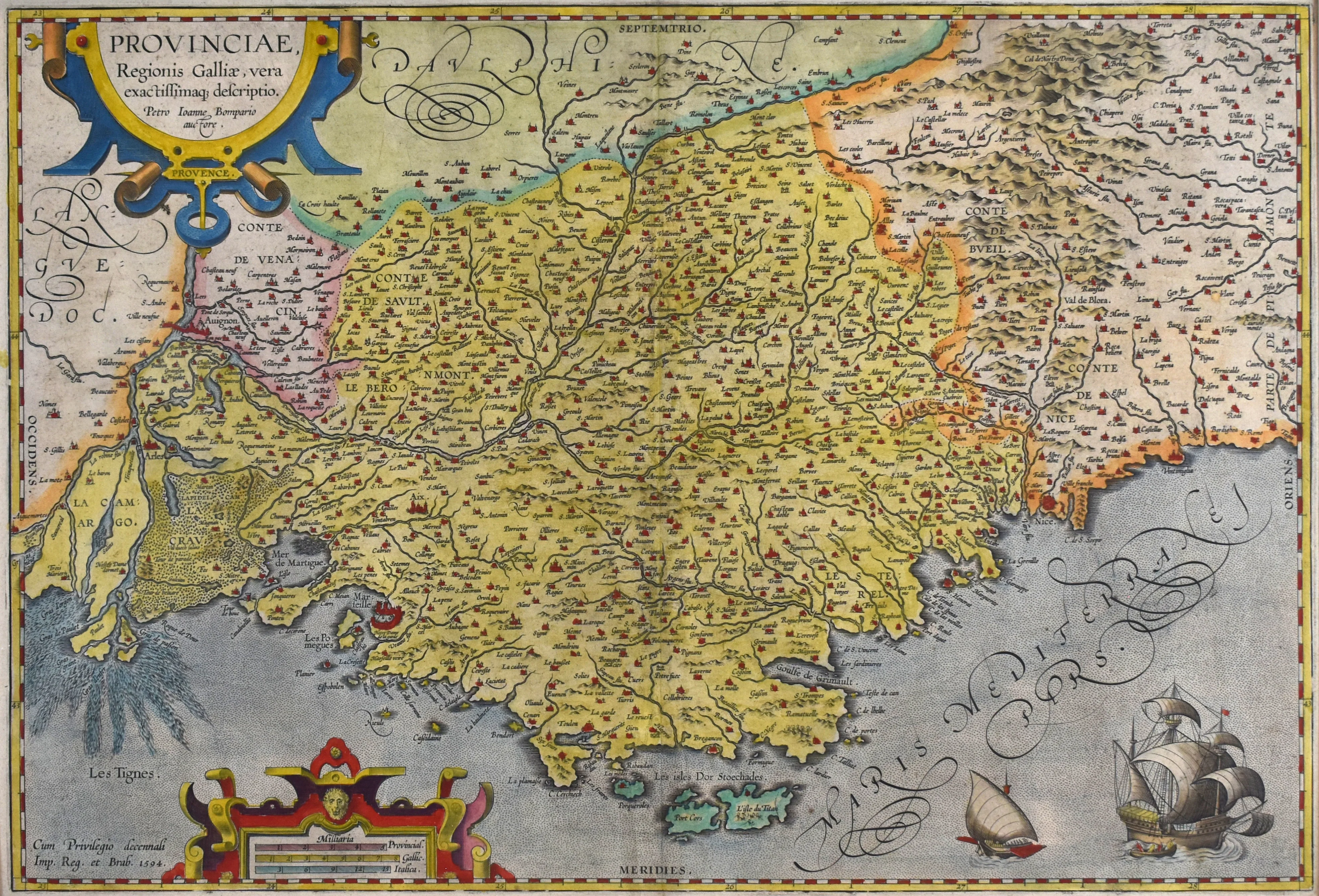
Map of southeastern France and northwestern Italy including the regions of Genoa, Provence, Languedoc, and the Piedmont, among others. Also shows the cities of Marseilles, Avignon, Grenoble, Geneva, Turin, Bergamo, Cannes, Nice, Saint-Tropez, Monaco, Mantua, and Parma.
- Title: Chart of Places Connected with the Route from Lyons in France to Turin & Lombardy
- Author: G. G. & J. Robinson
- Date: 1800
- Medium: Copperplate engraving
- Condition: Very Good - light age toning, issued folding, foxing, discoloration near margins
- Inches: 25 7/8 x 20 [Paper]
- Centimeters: 65.72 x 50.8 [Paper]
- Product ID: 100510
Map of southeastern France and northwestern Italy including the regions of Genoa, Provence, Languedoc, and the Piedmont, among others. Also shows the cities of Marseilles, Avignon, Grenoble, Geneva, Turin, Bergamo, Cannes, Nice, Saint-Tropez, Monaco, Mantua, and Parma.
Original: $125.00
-65%$125.00
$43.75Description
- Title: Chart of Places Connected with the Route from Lyons in France to Turin & Lombardy
- Author: G. G. & J. Robinson
- Date: 1800
- Medium: Copperplate engraving
- Condition: Very Good - light age toning, issued folding, foxing, discoloration near margins
- Inches: 25 7/8 x 20 [Paper]
- Centimeters: 65.72 x 50.8 [Paper]
- Product ID: 100510
Map of southeastern France and northwestern Italy including the regions of Genoa, Provence, Languedoc, and the Piedmont, among others. Also shows the cities of Marseilles, Avignon, Grenoble, Geneva, Turin, Bergamo, Cannes, Nice, Saint-Tropez, Monaco, Mantua, and Parma.