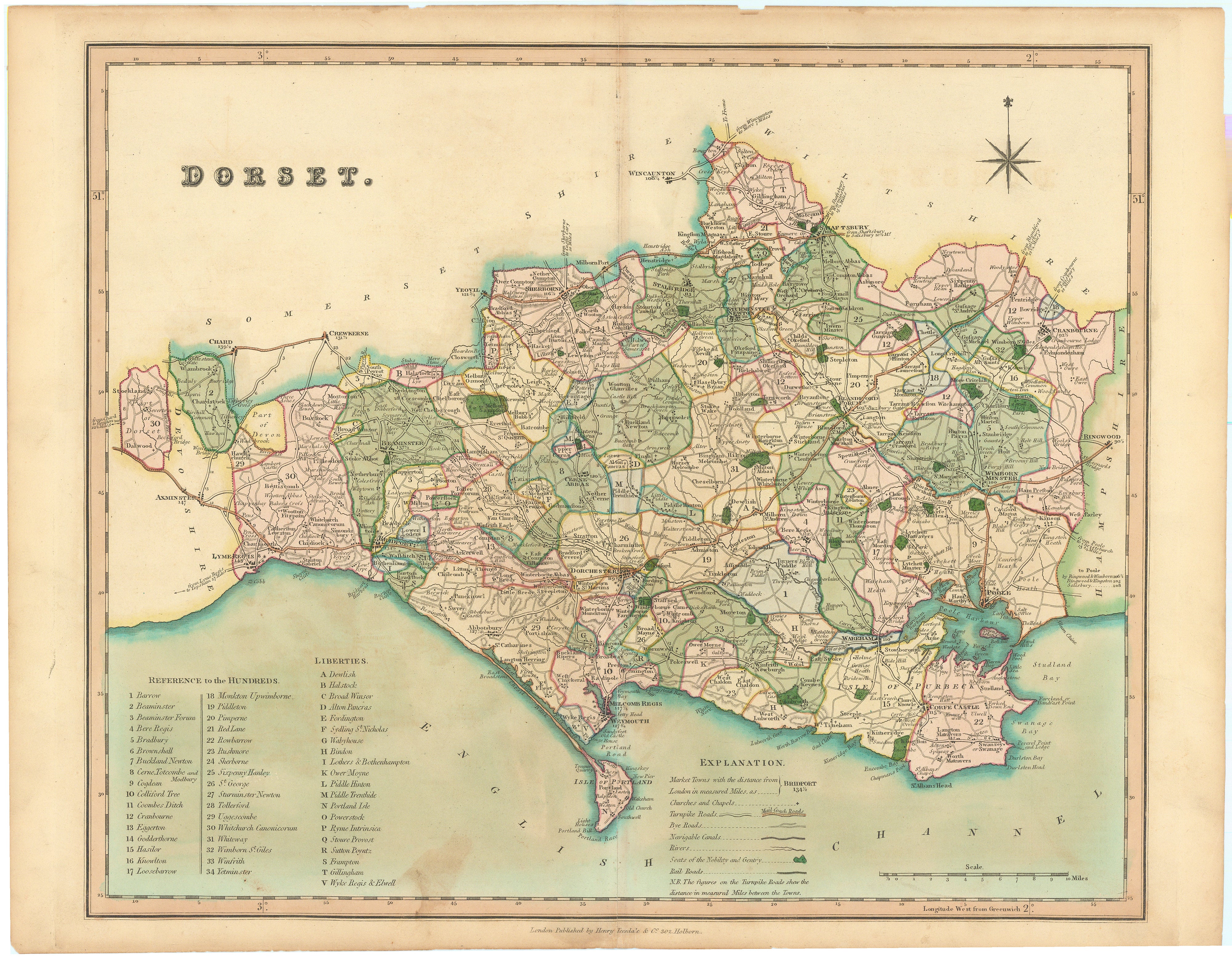
Dorset: Teesdale 1830
- Title: Dorset
- Author: Henry Teesdale
- Date: 1830
- Medium: Hand-colored lithograph
- Condition: Good, toning throughout, chipping along top edge, mild staining
- Inches: 18 5/8 x 14 1/2 [Paper]
- Centimeters: 47.31 x 36.83 [Paper]
- Product ID: 5038
Map of the county of Dorset in southwest England on the coast of English Channel.
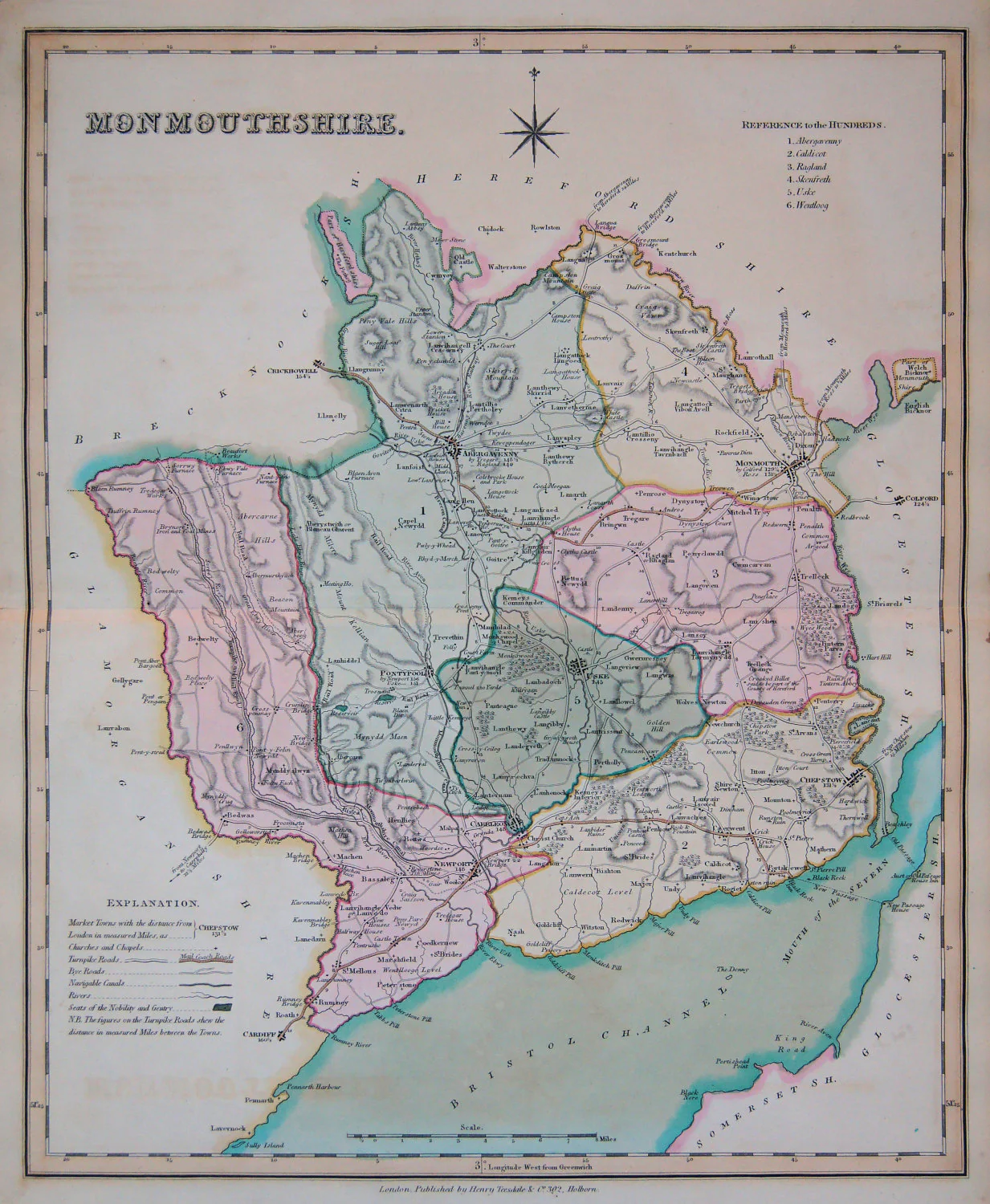
Henry Teesdale was a London map publisher responsible for many notable pieces including large-scale maps, world charts, a world atlas, and two county atlases. After obtaining Robert Rowe's English Atlas in the 1820s, he published it as his own entitled New British Atlas with many plates carefully revised and corrected to the year 1830. His atlas features forty-six clear and beautifully-engraved maps of English counties, all with full original hand-coloring.
- Title: Dorset
- Author: Henry Teesdale
- Date: 1830
- Medium: Hand-colored lithograph
- Condition: Good, toning throughout, chipping along top edge, mild staining
- Inches: 18 5/8 x 14 1/2 [Paper]
- Centimeters: 47.31 x 36.83 [Paper]
- Product ID: 5038
Map of the county of Dorset in southwest England on the coast of English Channel.
Henry Teesdale was a London map publisher responsible for many notable pieces including large-scale maps, world charts, a world atlas, and two county atlases. After obtaining Robert Rowe's English Atlas in the 1820s, he published it as his own entitled New British Atlas with many plates carefully revised and corrected to the year 1830. His atlas features forty-six clear and beautifully-engraved maps of English counties, all with full original hand-coloring.
Original: $195.00
-65%$195.00
$68.25Description
- Title: Dorset
- Author: Henry Teesdale
- Date: 1830
- Medium: Hand-colored lithograph
- Condition: Good, toning throughout, chipping along top edge, mild staining
- Inches: 18 5/8 x 14 1/2 [Paper]
- Centimeters: 47.31 x 36.83 [Paper]
- Product ID: 5038
Map of the county of Dorset in southwest England on the coast of English Channel.
Henry Teesdale was a London map publisher responsible for many notable pieces including large-scale maps, world charts, a world atlas, and two county atlases. After obtaining Robert Rowe's English Atlas in the 1820s, he published it as his own entitled New British Atlas with many plates carefully revised and corrected to the year 1830. His atlas features forty-six clear and beautifully-engraved maps of English counties, all with full original hand-coloring.