New York and Environs: The New York Manual 1868
- Title: New York and Environs
- Author: The New York Manual
- Date: 1868
- Medium: Engraving
- Condition: Very Good - vertical folding lines with slight wear, light foxing and areas of surface dirt, small tear left margin
- Inches: 16 5/8 x 11 3/4 [Paper]
- Centimeters: 42.23 x 29.85 [Paper]
- Product ID: 316080
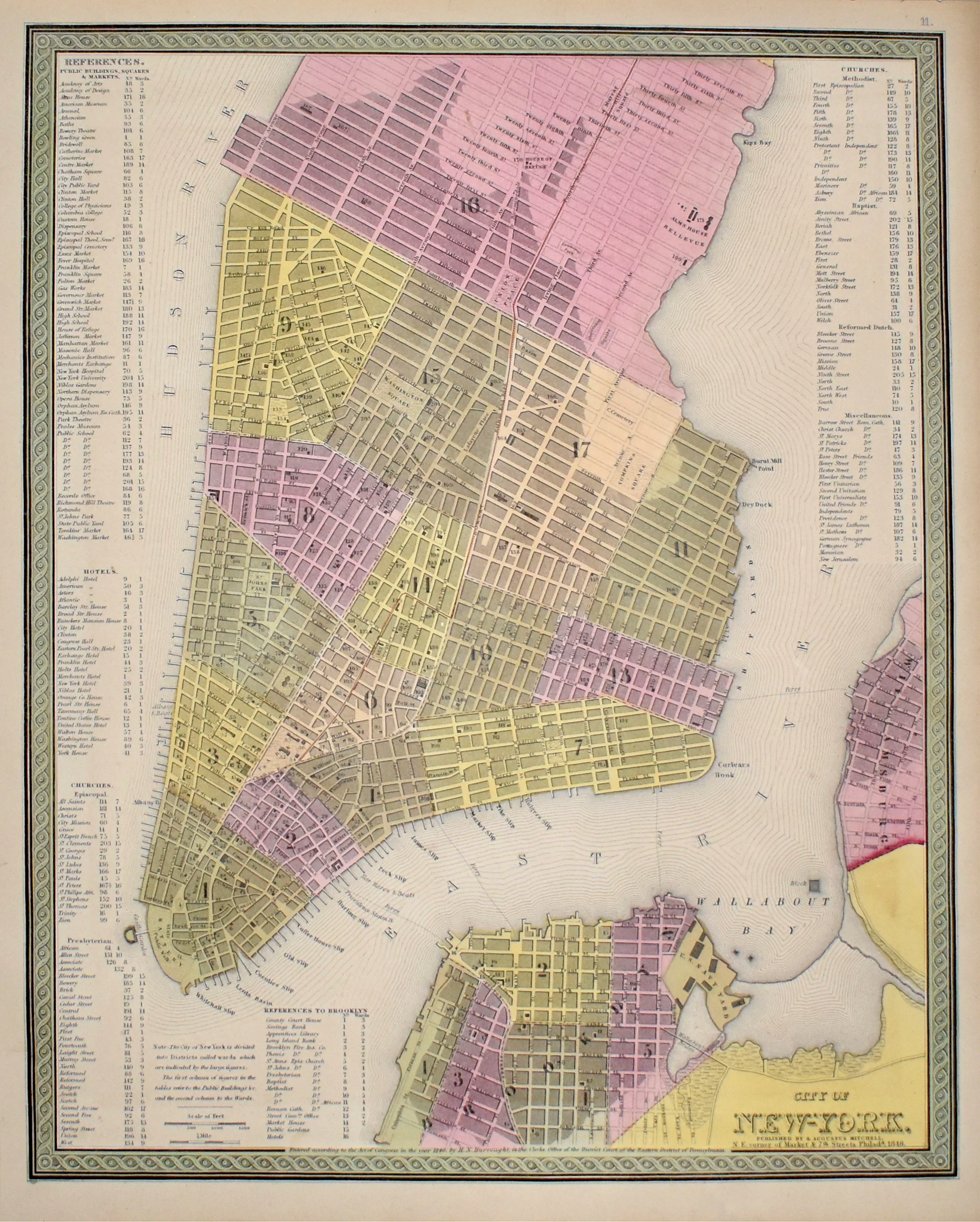
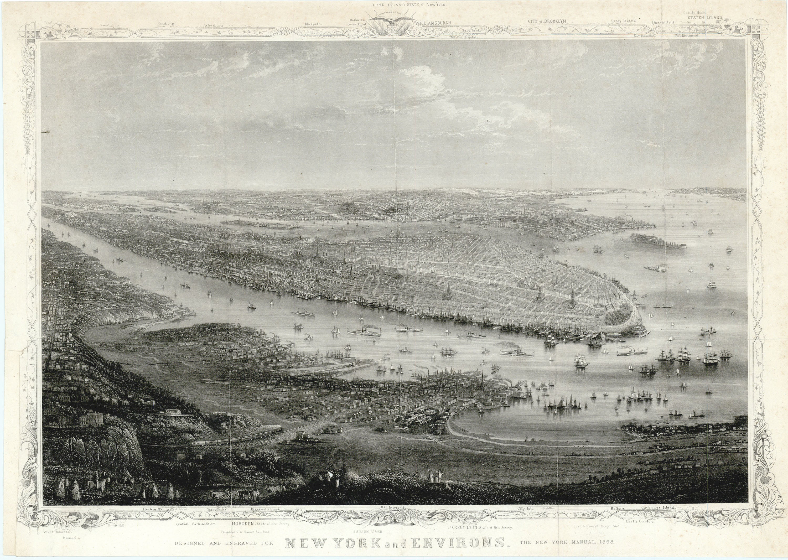
View of New York City as it appeared in 1868. Depicts ships sailing up and down the Hudson River, as well as suburban scenes of more well-to-do New Yorkers in the foreground. Place names are laid out in margins in relation to their corresponding location in the image. Named sites include Central Park, Hoboken, the Philadelphia & Newark Railroad, the City of Brooklyn, Williamsburgh, Coney Island, Staten Island, and Jersey City.
- Title: New York and Environs
- Author: The New York Manual
- Date: 1868
- Medium: Engraving
- Condition: Very Good - vertical folding lines with slight wear, light foxing and areas of surface dirt, small tear left margin
- Inches: 16 5/8 x 11 3/4 [Paper]
- Centimeters: 42.23 x 29.85 [Paper]
- Product ID: 316080
View of New York City as it appeared in 1868. Depicts ships sailing up and down the Hudson River, as well as suburban scenes of more well-to-do New Yorkers in the foreground. Place names are laid out in margins in relation to their corresponding location in the image. Named sites include Central Park, Hoboken, the Philadelphia & Newark Railroad, the City of Brooklyn, Williamsburgh, Coney Island, Staten Island, and Jersey City.
Original: $695.00
-65%$695.00
$243.25Description
- Title: New York and Environs
- Author: The New York Manual
- Date: 1868
- Medium: Engraving
- Condition: Very Good - vertical folding lines with slight wear, light foxing and areas of surface dirt, small tear left margin
- Inches: 16 5/8 x 11 3/4 [Paper]
- Centimeters: 42.23 x 29.85 [Paper]
- Product ID: 316080
View of New York City as it appeared in 1868. Depicts ships sailing up and down the Hudson River, as well as suburban scenes of more well-to-do New Yorkers in the foreground. Place names are laid out in margins in relation to their corresponding location in the image. Named sites include Central Park, Hoboken, the Philadelphia & Newark Railroad, the City of Brooklyn, Williamsburgh, Coney Island, Staten Island, and Jersey City.