New York: SDUK 1840
- Title: New York
-
Author: SDUK
- Date: 1840
- Medium: Hand-colored engraving
- Condition: Very Good Plus - light age toning, small tide mark lower margin
- Inches: 16 x 13 1/2 [Paper]
- Centimeters: 40.64 x 34.29 [Paper]
- Product ID: 101400
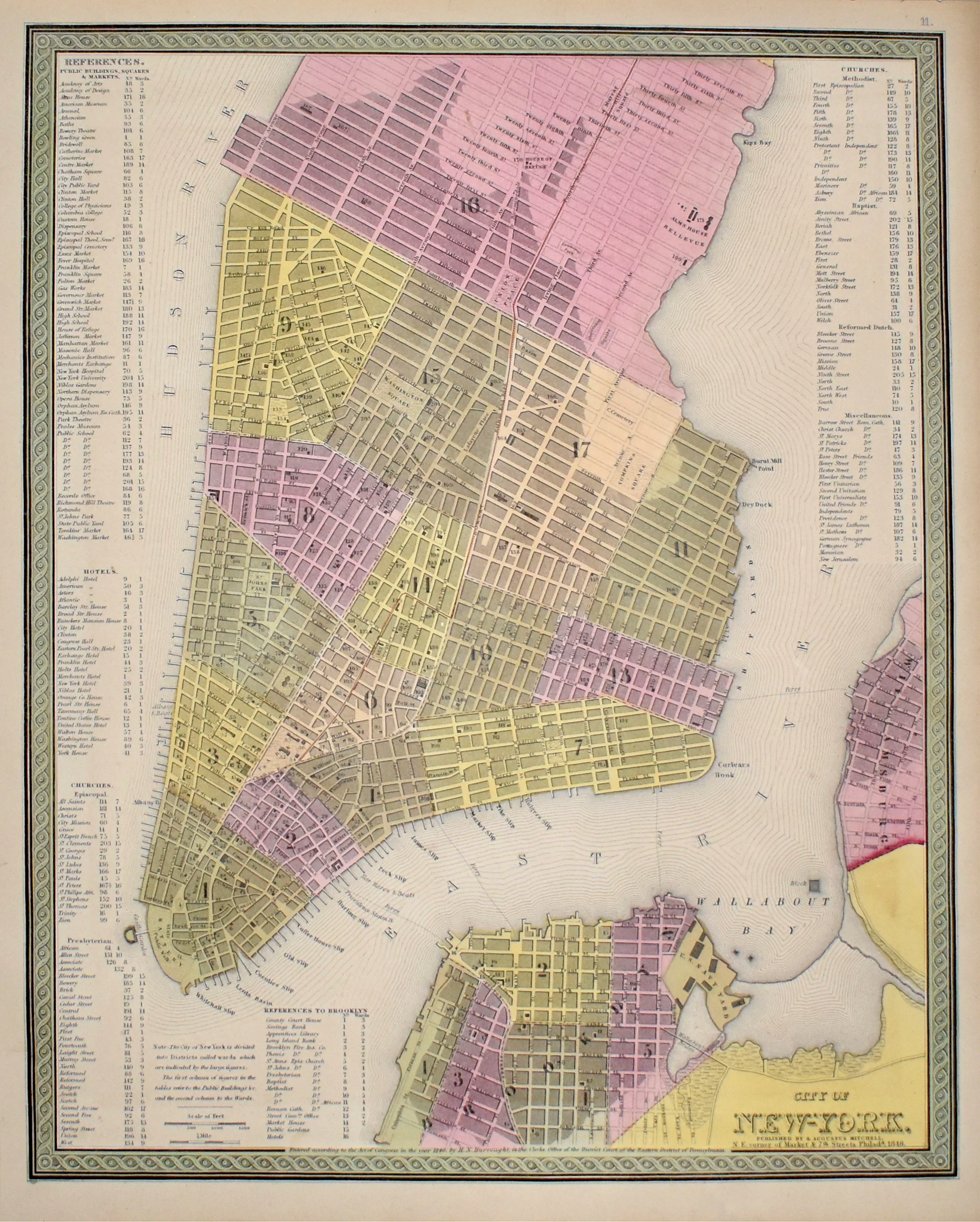
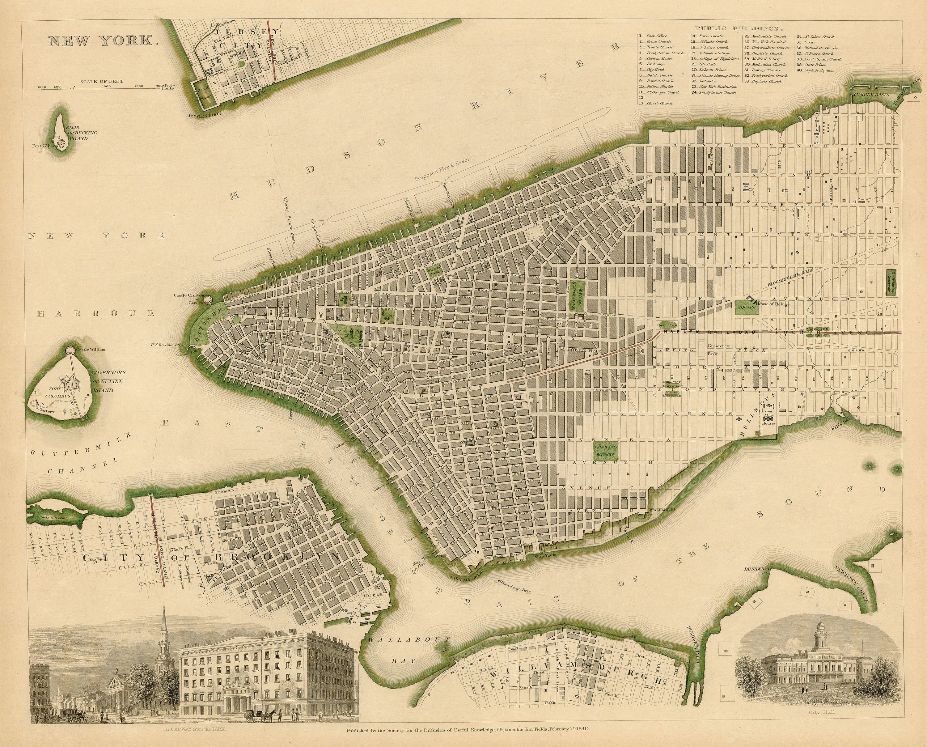
Map of New York City published by the Society for the Diffusion of Useful Knowledge [SDUK]. Features two small inset views: 'Broadway from the Park' and 'City Hall.' Also marks railroad lines and features an index of public buildings to the upper right. Labeled features and environs include Governors Island, Ellis Island, Brooklyn, Williamsburg, Jersey City, the East River, New York Harbor, and the Hudson River.
- Title: New York
-
Author: SDUK
- Date: 1840
- Medium: Hand-colored engraving
- Condition: Very Good Plus - light age toning, small tide mark lower margin
- Inches: 16 x 13 1/2 [Paper]
- Centimeters: 40.64 x 34.29 [Paper]
- Product ID: 101400
Map of New York City published by the Society for the Diffusion of Useful Knowledge [SDUK]. Features two small inset views: 'Broadway from the Park' and 'City Hall.' Also marks railroad lines and features an index of public buildings to the upper right. Labeled features and environs include Governors Island, Ellis Island, Brooklyn, Williamsburg, Jersey City, the East River, New York Harbor, and the Hudson River.
Original: $545.00
-65%$545.00
$190.75Description
- Title: New York
-
Author: SDUK
- Date: 1840
- Medium: Hand-colored engraving
- Condition: Very Good Plus - light age toning, small tide mark lower margin
- Inches: 16 x 13 1/2 [Paper]
- Centimeters: 40.64 x 34.29 [Paper]
- Product ID: 101400
Map of New York City published by the Society for the Diffusion of Useful Knowledge [SDUK]. Features two small inset views: 'Broadway from the Park' and 'City Hall.' Also marks railroad lines and features an index of public buildings to the upper right. Labeled features and environs include Governors Island, Ellis Island, Brooklyn, Williamsburg, Jersey City, the East River, New York Harbor, and the Hudson River.