Northern and Southern Hemispheres...: The National Geographic Magazine, 1943
- Title: NORTHERN AND SOUTHERN HEMISPHERES | Compiled and Drawn in the Cartographic Section of The National Geographic Society for THE NATIONAL GEOGRAPHIC MAGAZINE
-
Author: The National Geographic Magazine
- Date: April, 1943
- Condition: Uniform age toning - Scattered foxing, all else fine
- Inches: 67 x 35 1/2 [Paper]
- Centimeters: 170.18 x 90.17 [Paper]
- Product ID: 308405
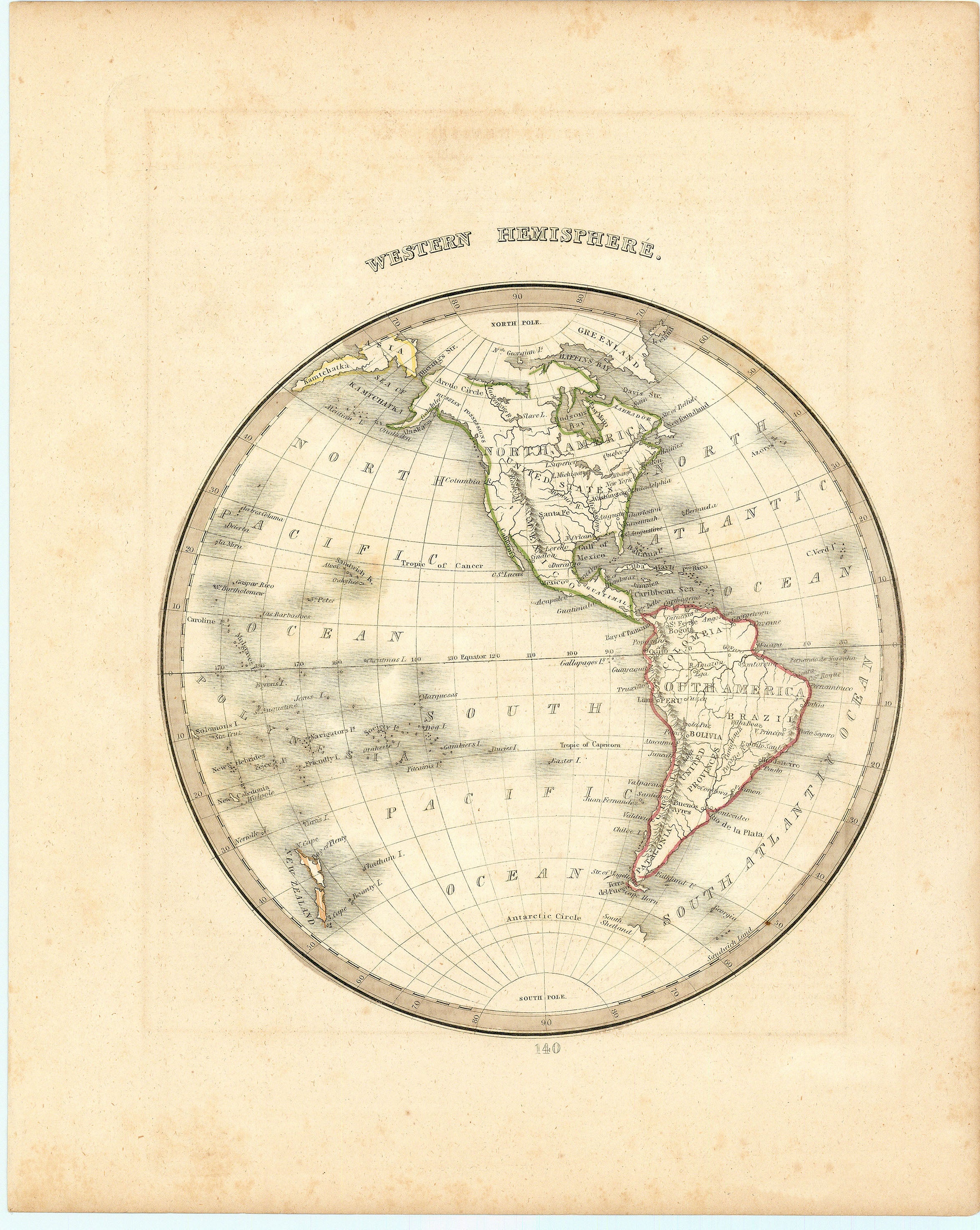
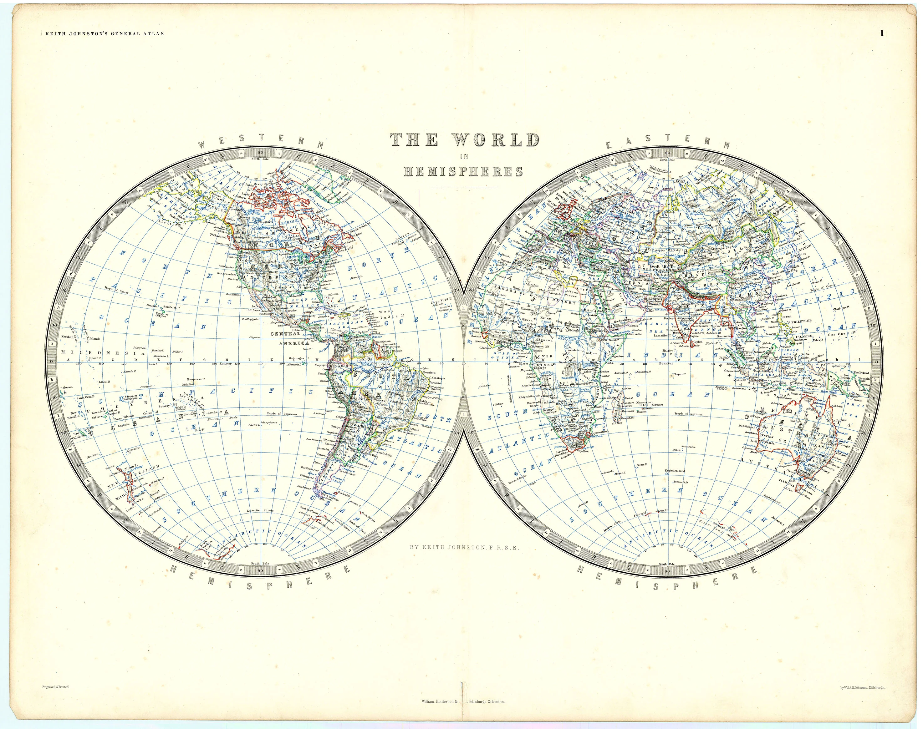
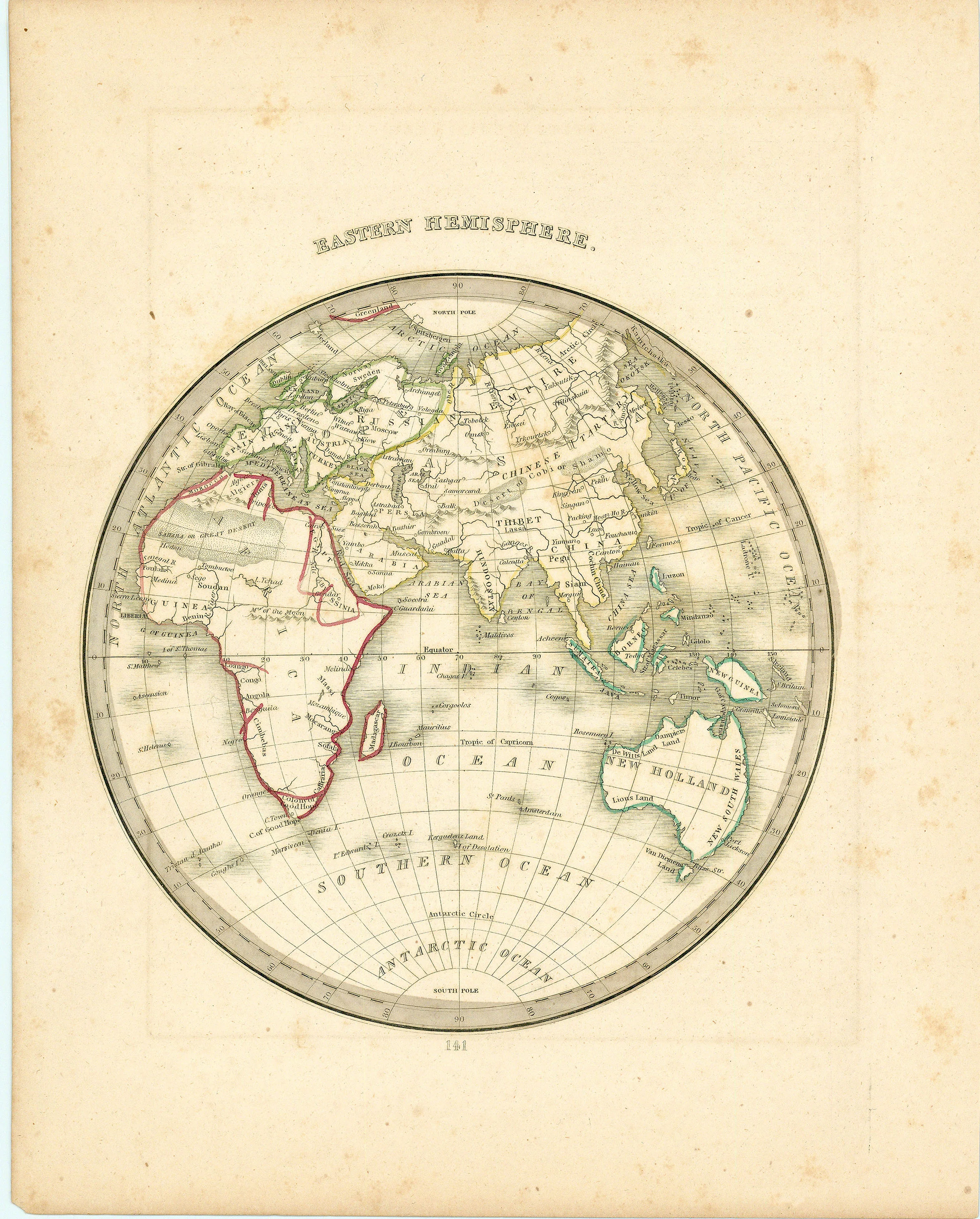
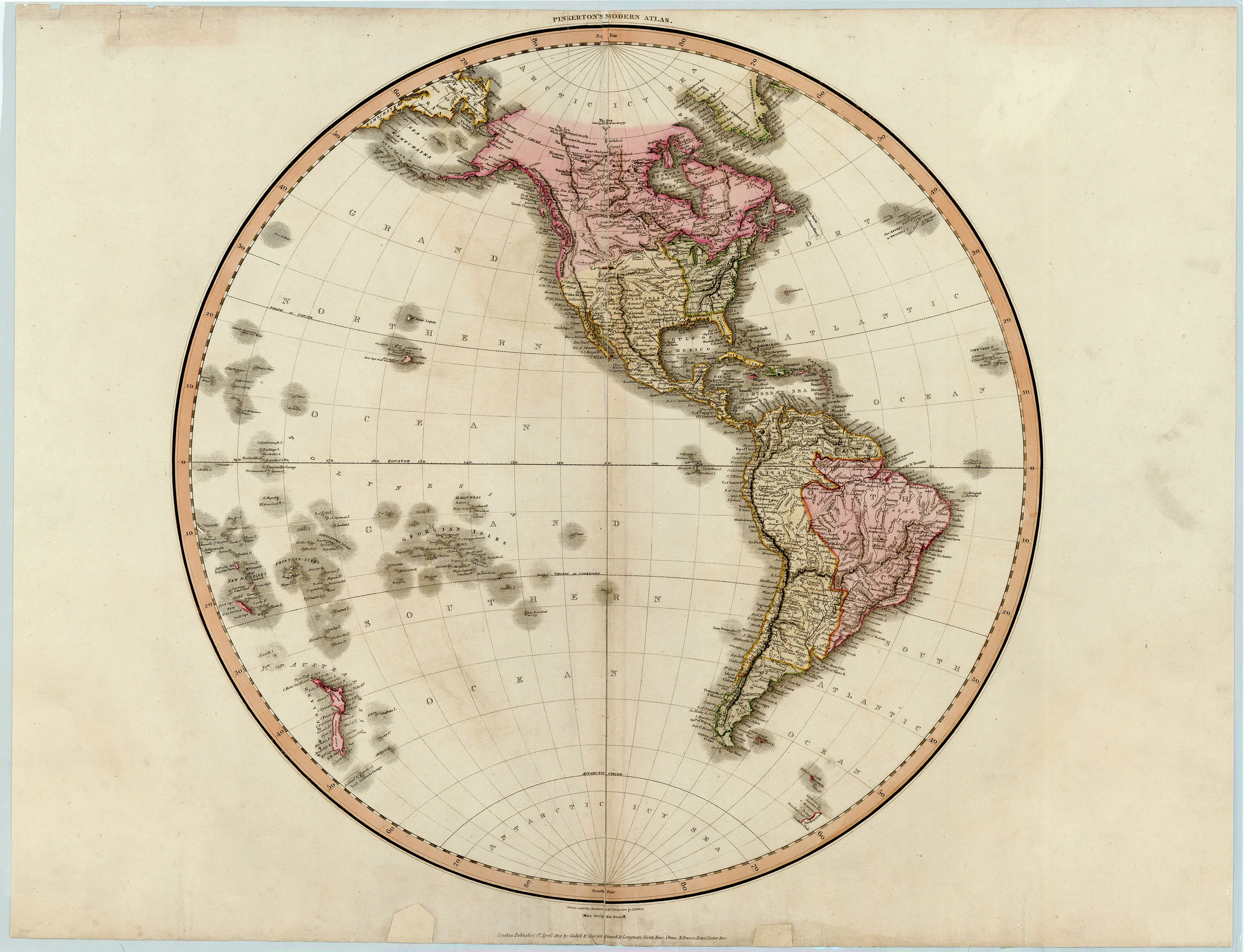
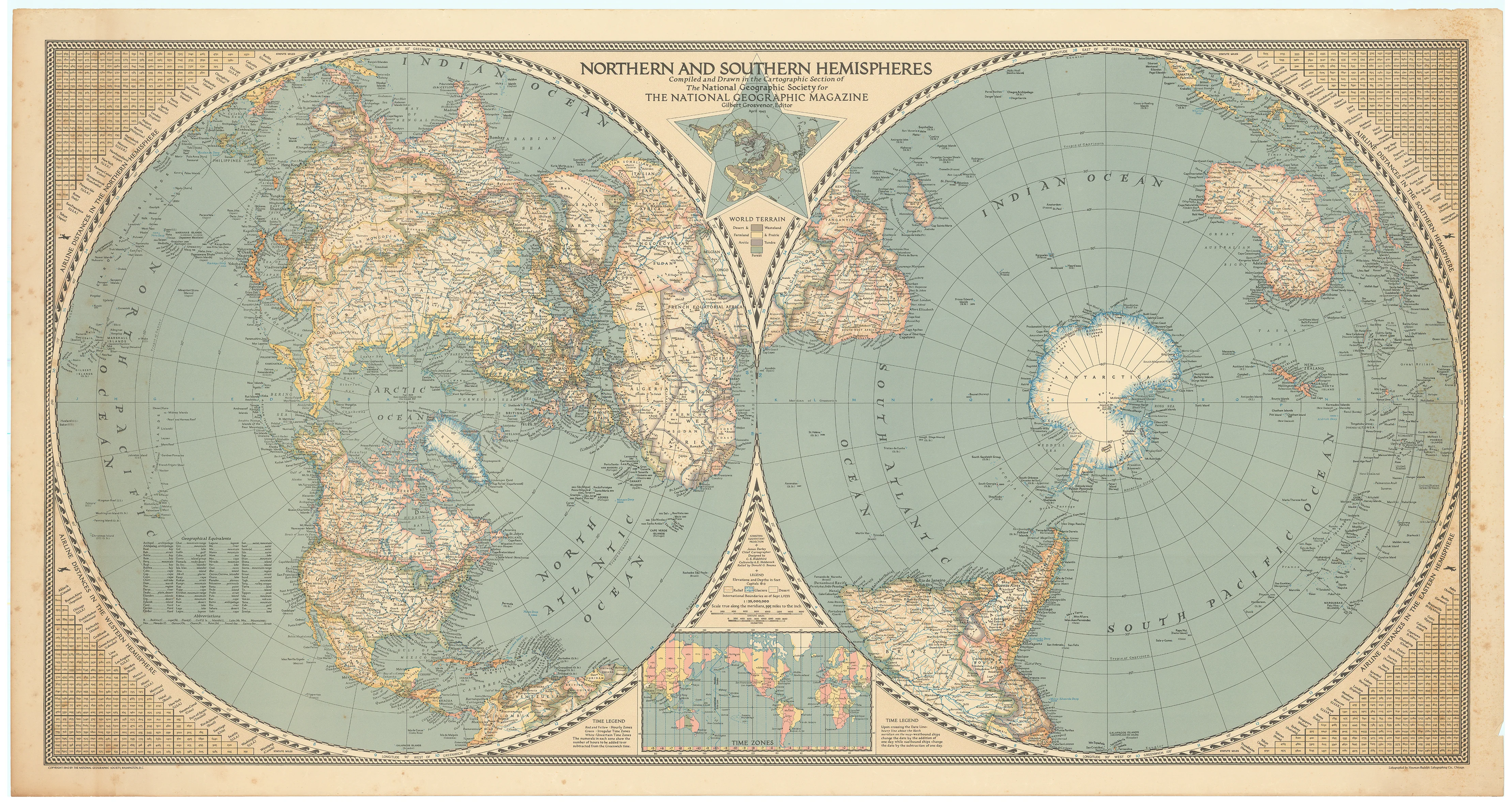
This very large double-hemisphere map created by National Geographic presents a wealth of detail, with countries, cities, major rivers, mountain ranges, and islands all clearly labeled, using fine lines and color shading to distinguish political boundaries and physical features. The major oceans—Atlantic, Pacific, Indian, Arctic, and Southern—are prominently marked, along with notable islands and archipelagos. Both hemispheres feature precise latitude and longitude lines for reference, while the Southern Hemisphere is centered on Antarctica, surrounded by the southern continents and islands. Additional features include a comprehensive time zone table at the bottom, listing cities and their corresponding time zones, and the map is explicitly credited to the Cartographic Section of the National Geographic Society, published for The National Geographic Magazine.
It is an excellent example of National Geographic’s cartographic quality and educational focus.
Background on Creator
The National Geographic Society, founded in 1888 in Washington, D.C., is a renowned nonprofit scientific and educational organization dedicated to increasing and diffusing geographic knowledge. Established by a group of explorers and scientists, it began as an exclusive club focused on travel and exploration and quickly grew into one of the world’s largest and most influential societies in geography, science, and education. The Society is widely recognized for sponsoring groundbreaking expeditions, supporting scientific research, and producing the iconic National Geographic Magazine, which has reached millions of readers worldwide since its first issue in October 1888. Over the years, National Geographic has been at the forefront of innovative photography, storytelling, and cartography, documenting significant discoveries such as the tomb of Tutankhamen, the ascent of Mount Everest, and the studies of primates by Jane Goodall and Dian Fossey. Its efforts extend beyond publishing to education, conservation, and technological innovation, awarding thousands of grants to researchers and educators globally. Today, the Society continues to inspire curiosity and stewardship of the planet through diverse media platforms, including television, digital content, and retail, maintaining its mission to explore and protect the world.
- Title: NORTHERN AND SOUTHERN HEMISPHERES | Compiled and Drawn in the Cartographic Section of The National Geographic Society for THE NATIONAL GEOGRAPHIC MAGAZINE
-
Author: The National Geographic Magazine
- Date: April, 1943
- Condition: Uniform age toning - Scattered foxing, all else fine
- Inches: 67 x 35 1/2 [Paper]
- Centimeters: 170.18 x 90.17 [Paper]
- Product ID: 308405
This very large double-hemisphere map created by National Geographic presents a wealth of detail, with countries, cities, major rivers, mountain ranges, and islands all clearly labeled, using fine lines and color shading to distinguish political boundaries and physical features. The major oceans—Atlantic, Pacific, Indian, Arctic, and Southern—are prominently marked, along with notable islands and archipelagos. Both hemispheres feature precise latitude and longitude lines for reference, while the Southern Hemisphere is centered on Antarctica, surrounded by the southern continents and islands. Additional features include a comprehensive time zone table at the bottom, listing cities and their corresponding time zones, and the map is explicitly credited to the Cartographic Section of the National Geographic Society, published for The National Geographic Magazine.
It is an excellent example of National Geographic’s cartographic quality and educational focus.
Background on Creator
The National Geographic Society, founded in 1888 in Washington, D.C., is a renowned nonprofit scientific and educational organization dedicated to increasing and diffusing geographic knowledge. Established by a group of explorers and scientists, it began as an exclusive club focused on travel and exploration and quickly grew into one of the world’s largest and most influential societies in geography, science, and education. The Society is widely recognized for sponsoring groundbreaking expeditions, supporting scientific research, and producing the iconic National Geographic Magazine, which has reached millions of readers worldwide since its first issue in October 1888. Over the years, National Geographic has been at the forefront of innovative photography, storytelling, and cartography, documenting significant discoveries such as the tomb of Tutankhamen, the ascent of Mount Everest, and the studies of primates by Jane Goodall and Dian Fossey. Its efforts extend beyond publishing to education, conservation, and technological innovation, awarding thousands of grants to researchers and educators globally. Today, the Society continues to inspire curiosity and stewardship of the planet through diverse media platforms, including television, digital content, and retail, maintaining its mission to explore and protect the world.
Original: $295.00
-65%$295.00
$103.25Description
- Title: NORTHERN AND SOUTHERN HEMISPHERES | Compiled and Drawn in the Cartographic Section of The National Geographic Society for THE NATIONAL GEOGRAPHIC MAGAZINE
-
Author: The National Geographic Magazine
- Date: April, 1943
- Condition: Uniform age toning - Scattered foxing, all else fine
- Inches: 67 x 35 1/2 [Paper]
- Centimeters: 170.18 x 90.17 [Paper]
- Product ID: 308405
This very large double-hemisphere map created by National Geographic presents a wealth of detail, with countries, cities, major rivers, mountain ranges, and islands all clearly labeled, using fine lines and color shading to distinguish political boundaries and physical features. The major oceans—Atlantic, Pacific, Indian, Arctic, and Southern—are prominently marked, along with notable islands and archipelagos. Both hemispheres feature precise latitude and longitude lines for reference, while the Southern Hemisphere is centered on Antarctica, surrounded by the southern continents and islands. Additional features include a comprehensive time zone table at the bottom, listing cities and their corresponding time zones, and the map is explicitly credited to the Cartographic Section of the National Geographic Society, published for The National Geographic Magazine.
It is an excellent example of National Geographic’s cartographic quality and educational focus.
Background on Creator
The National Geographic Society, founded in 1888 in Washington, D.C., is a renowned nonprofit scientific and educational organization dedicated to increasing and diffusing geographic knowledge. Established by a group of explorers and scientists, it began as an exclusive club focused on travel and exploration and quickly grew into one of the world’s largest and most influential societies in geography, science, and education. The Society is widely recognized for sponsoring groundbreaking expeditions, supporting scientific research, and producing the iconic National Geographic Magazine, which has reached millions of readers worldwide since its first issue in October 1888. Over the years, National Geographic has been at the forefront of innovative photography, storytelling, and cartography, documenting significant discoveries such as the tomb of Tutankhamen, the ascent of Mount Everest, and the studies of primates by Jane Goodall and Dian Fossey. Its efforts extend beyond publishing to education, conservation, and technological innovation, awarding thousands of grants to researchers and educators globally. Today, the Society continues to inspire curiosity and stewardship of the planet through diverse media platforms, including television, digital content, and retail, maintaining its mission to explore and protect the world.