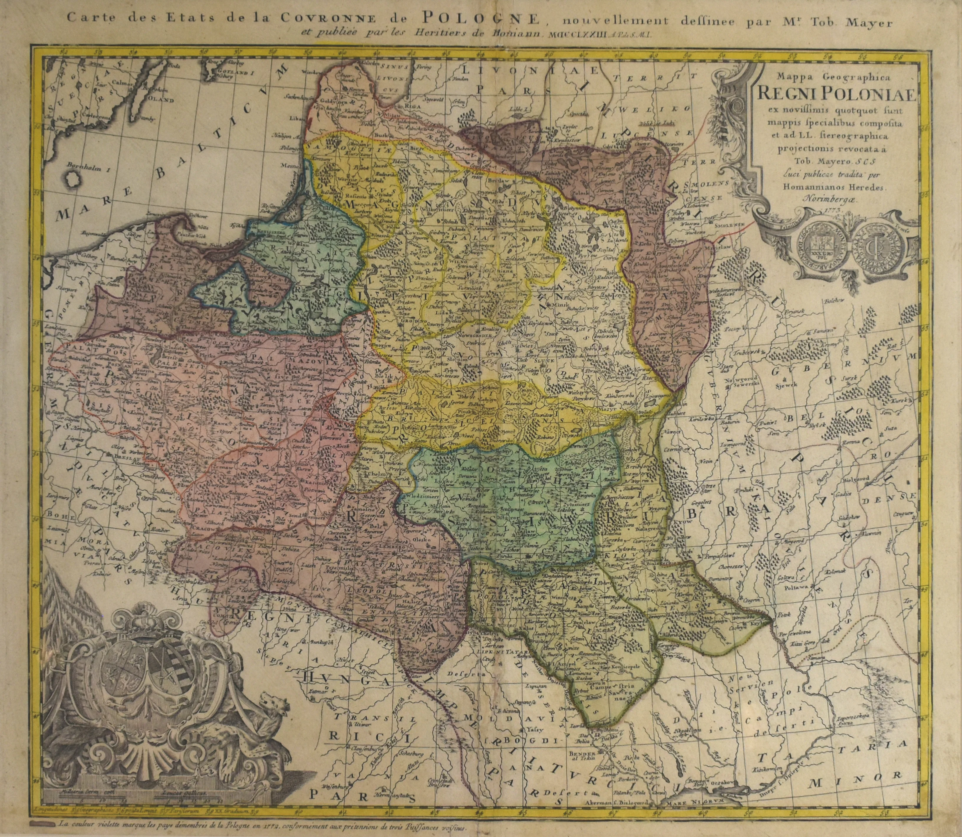
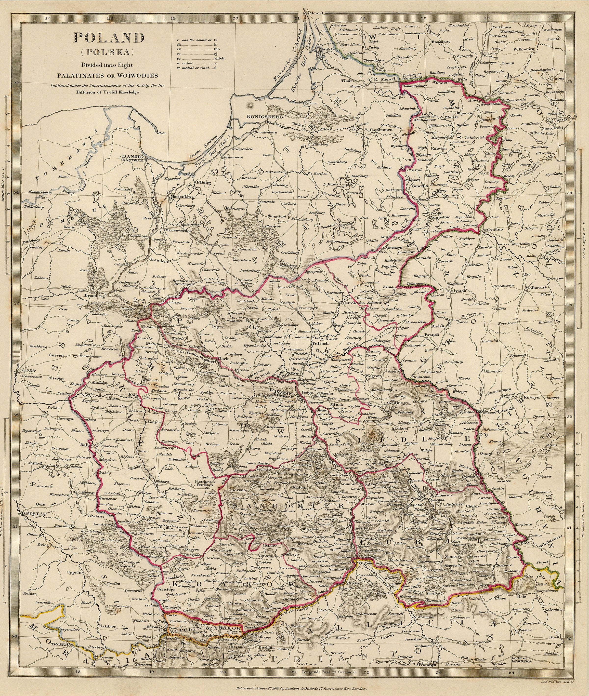
Poland Lithuania and Prussia: Jefferys c. 1760
- Title: Poland Lithuania and Prussia
- Author: Thomas Jefferys
- Date: c. 1760
- Medium: Copperplate engraving
- Condition: Very Good - light age toning and foxing, marginal separations at vertical fold lines
- Inches: 10 1/4 x 8 1/2 [Paper]
- Centimeters: 26.04 x 21.59 [Paper]
- Product ID: 318022
By the end of the eighteenth century, Britain had established itself as the world’s leading naval superpower, a development which went hand-in-hand with cartographic advancement. One of the cartographers who contributed to this phenomenon was Thomas Jefferys (c. 1719-1771), Royal Geographer to King George III. We know little of his background, save that he married in 1750 and seemed to identify primarily as an engraver, rather than as a geographer. In 1766 he went bankrupt, which gave publisher Robert Sayer the opportunity to purchase a large portion of Jefferys’ materials and plates. Following this setback, Jefferys did continue to publish maps in partnership with the younger William Faden.
- Title: Poland Lithuania and Prussia
- Author: Thomas Jefferys
- Date: c. 1760
- Medium: Copperplate engraving
- Condition: Very Good - light age toning and foxing, marginal separations at vertical fold lines
- Inches: 10 1/4 x 8 1/2 [Paper]
- Centimeters: 26.04 x 21.59 [Paper]
- Product ID: 318022
By the end of the eighteenth century, Britain had established itself as the world’s leading naval superpower, a development which went hand-in-hand with cartographic advancement. One of the cartographers who contributed to this phenomenon was Thomas Jefferys (c. 1719-1771), Royal Geographer to King George III. We know little of his background, save that he married in 1750 and seemed to identify primarily as an engraver, rather than as a geographer. In 1766 he went bankrupt, which gave publisher Robert Sayer the opportunity to purchase a large portion of Jefferys’ materials and plates. Following this setback, Jefferys did continue to publish maps in partnership with the younger William Faden.
Original: $195.00
-65%$195.00
$68.25Description
- Title: Poland Lithuania and Prussia
- Author: Thomas Jefferys
- Date: c. 1760
- Medium: Copperplate engraving
- Condition: Very Good - light age toning and foxing, marginal separations at vertical fold lines
- Inches: 10 1/4 x 8 1/2 [Paper]
- Centimeters: 26.04 x 21.59 [Paper]
- Product ID: 318022
By the end of the eighteenth century, Britain had established itself as the world’s leading naval superpower, a development which went hand-in-hand with cartographic advancement. One of the cartographers who contributed to this phenomenon was Thomas Jefferys (c. 1719-1771), Royal Geographer to King George III. We know little of his background, save that he married in 1750 and seemed to identify primarily as an engraver, rather than as a geographer. In 1766 he went bankrupt, which gave publisher Robert Sayer the opportunity to purchase a large portion of Jefferys’ materials and plates. Following this setback, Jefferys did continue to publish maps in partnership with the younger William Faden.