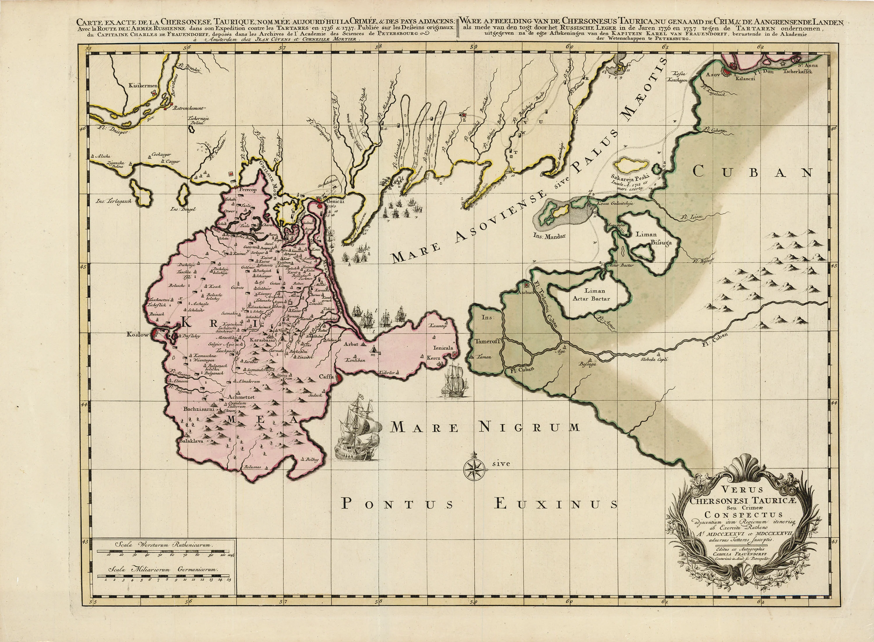
Verus Chersonesi Tauricae Seu Crimeae Conspectus: Covens & Mortier 1737
- Title: Verus Chersonesi Tauricae Seu Crimeae Conspectus
- Author: Covens & Mortier
- Date: 1737
- Medium: Hand-colored copperplate engraving
- Condition: Very Good Plus - sticker on plastic not map
- Inches: 29.75 x 22 [Paper]
- Centimeters: 75.6 x 55.6 [Paper]
- Product ID: 233012
Verus Chersonesi Tauricae Seu Crimeae Conspectus adjacentium item Regionum itinerisq ab Excercitu Rutheno Ao. MDCCXXXVI et MDCCXXXVII aduersus Tattaros Lusceptis
Map documenting the Russo-Turkish War showing the route of the Russian Army in an expedition against the Crimean Tatars, 1736-37.
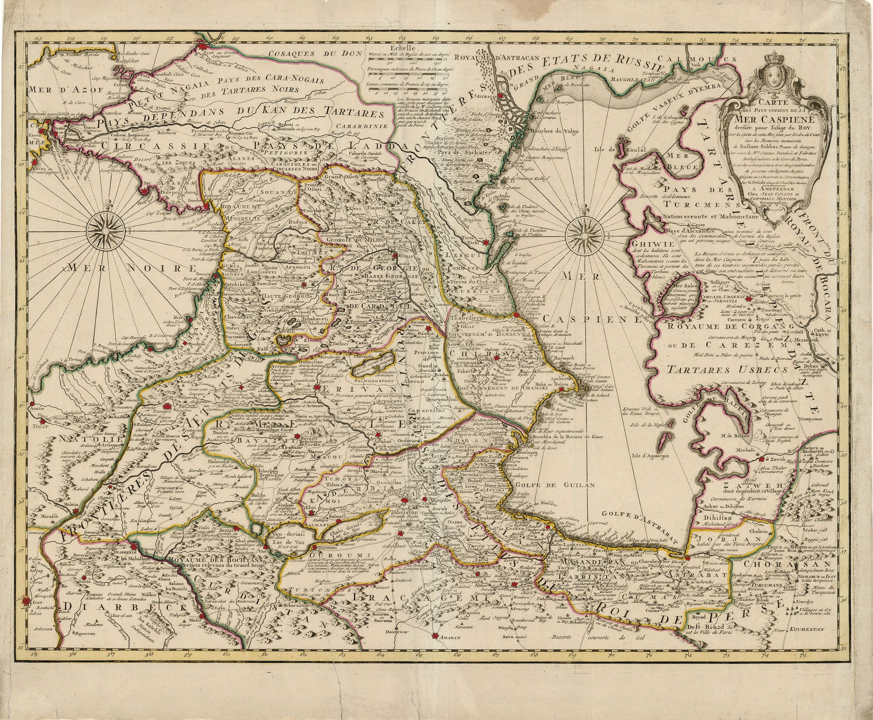
In 1719, Cornelis Mortier (1699-1783) inherited the publishing business of his father Pieter Mortier (1661-1711). In 1721, Cornelis joined with Johannes Covens the Elder (1697-1774) to form their eponymously titled Amsterdam firm, which would become one of the preeminent publishing houses of the eighteenth century. The firm reprinted and redistributed the maps of major cartographers such as Hubert Jaillot (1632-1712), Jan Jansson (1588-1664), Nicolas Sanson (1600-1667), Frederick de Wit (c. 1629-1706), and, of course, Guillaume De L'Isle (1675-1726).
- Title: Verus Chersonesi Tauricae Seu Crimeae Conspectus
- Author: Covens & Mortier
- Date: 1737
- Medium: Hand-colored copperplate engraving
- Condition: Very Good Plus - sticker on plastic not map
- Inches: 29.75 x 22 [Paper]
- Centimeters: 75.6 x 55.6 [Paper]
- Product ID: 233012
Verus Chersonesi Tauricae Seu Crimeae Conspectus adjacentium item Regionum itinerisq ab Excercitu Rutheno Ao. MDCCXXXVI et MDCCXXXVII aduersus Tattaros Lusceptis
Map documenting the Russo-Turkish War showing the route of the Russian Army in an expedition against the Crimean Tatars, 1736-37.
In 1719, Cornelis Mortier (1699-1783) inherited the publishing business of his father Pieter Mortier (1661-1711). In 1721, Cornelis joined with Johannes Covens the Elder (1697-1774) to form their eponymously titled Amsterdam firm, which would become one of the preeminent publishing houses of the eighteenth century. The firm reprinted and redistributed the maps of major cartographers such as Hubert Jaillot (1632-1712), Jan Jansson (1588-1664), Nicolas Sanson (1600-1667), Frederick de Wit (c. 1629-1706), and, of course, Guillaume De L'Isle (1675-1726).
Description
- Title: Verus Chersonesi Tauricae Seu Crimeae Conspectus
- Author: Covens & Mortier
- Date: 1737
- Medium: Hand-colored copperplate engraving
- Condition: Very Good Plus - sticker on plastic not map
- Inches: 29.75 x 22 [Paper]
- Centimeters: 75.6 x 55.6 [Paper]
- Product ID: 233012
Verus Chersonesi Tauricae Seu Crimeae Conspectus adjacentium item Regionum itinerisq ab Excercitu Rutheno Ao. MDCCXXXVI et MDCCXXXVII aduersus Tattaros Lusceptis
Map documenting the Russo-Turkish War showing the route of the Russian Army in an expedition against the Crimean Tatars, 1736-37.
In 1719, Cornelis Mortier (1699-1783) inherited the publishing business of his father Pieter Mortier (1661-1711). In 1721, Cornelis joined with Johannes Covens the Elder (1697-1774) to form their eponymously titled Amsterdam firm, which would become one of the preeminent publishing houses of the eighteenth century. The firm reprinted and redistributed the maps of major cartographers such as Hubert Jaillot (1632-1712), Jan Jansson (1588-1664), Nicolas Sanson (1600-1667), Frederick de Wit (c. 1629-1706), and, of course, Guillaume De L'Isle (1675-1726).