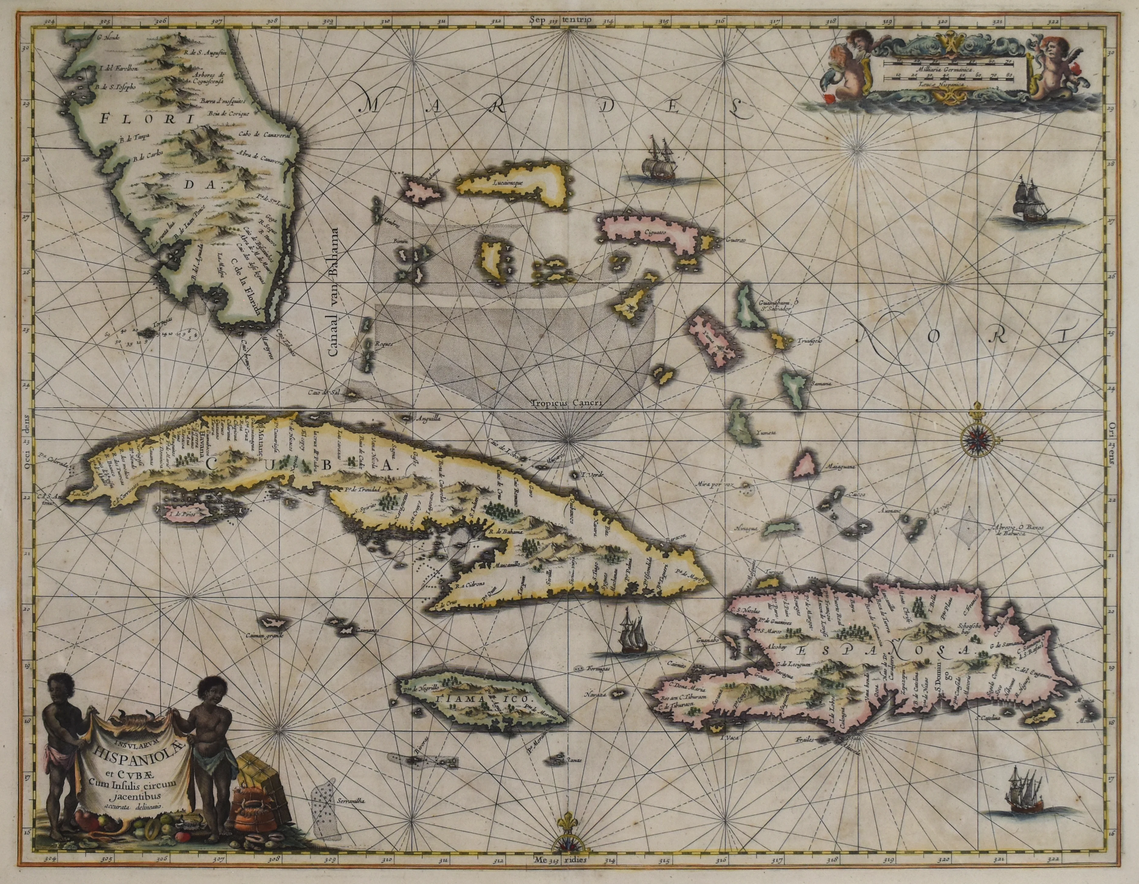
Sea Chart of the Greater Antilles: Jan Jansson 1650
- Author: Jan Jansson
- Date: 1650
- Medium: Hand-Colored Copperplate Engraving
- Condition: Very Good Plus
- Inches: 22.25 x 17.5 [Image]
- Centimeters: 56.5 x 44.4 [Image]
- Product ID: 233071
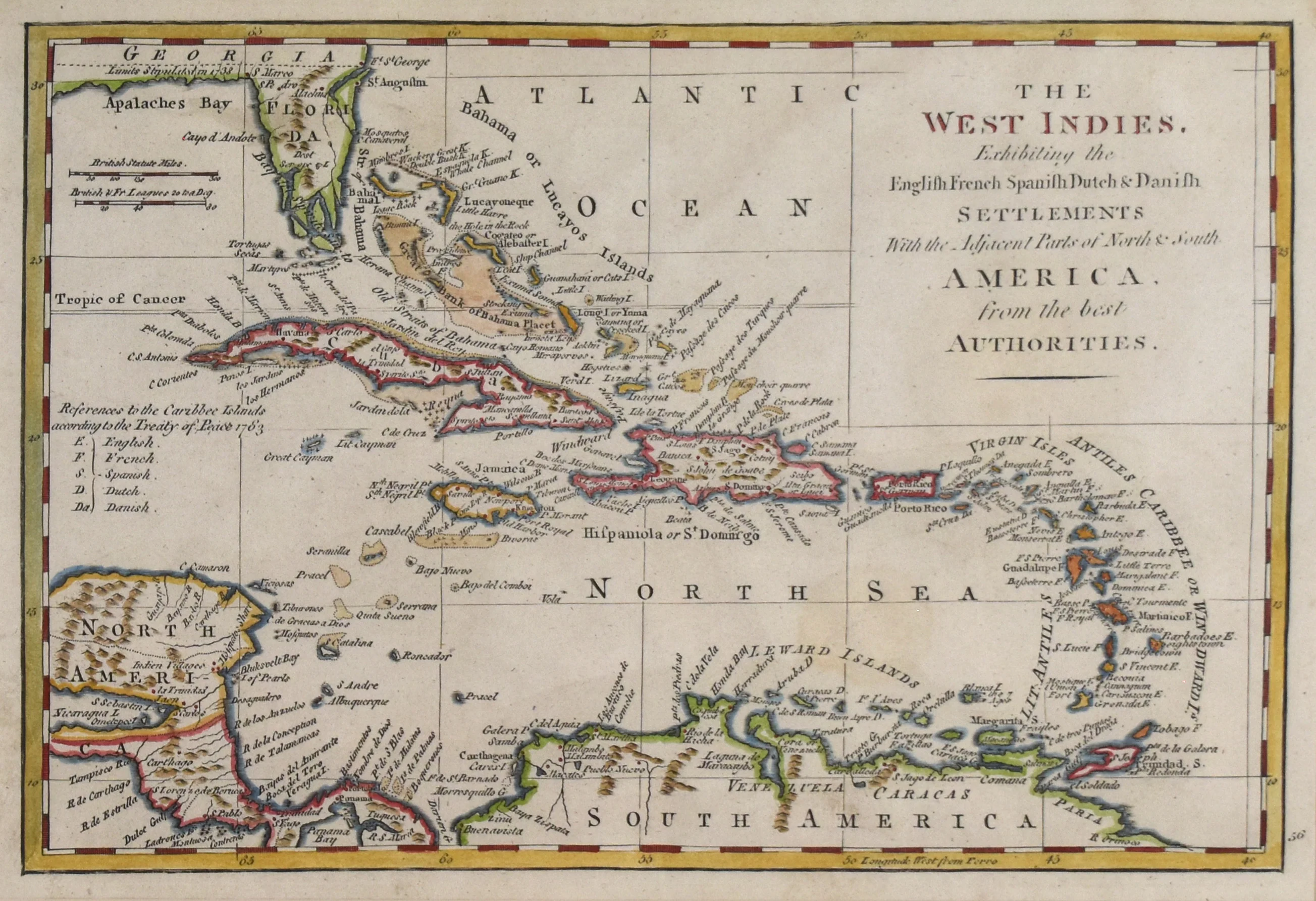
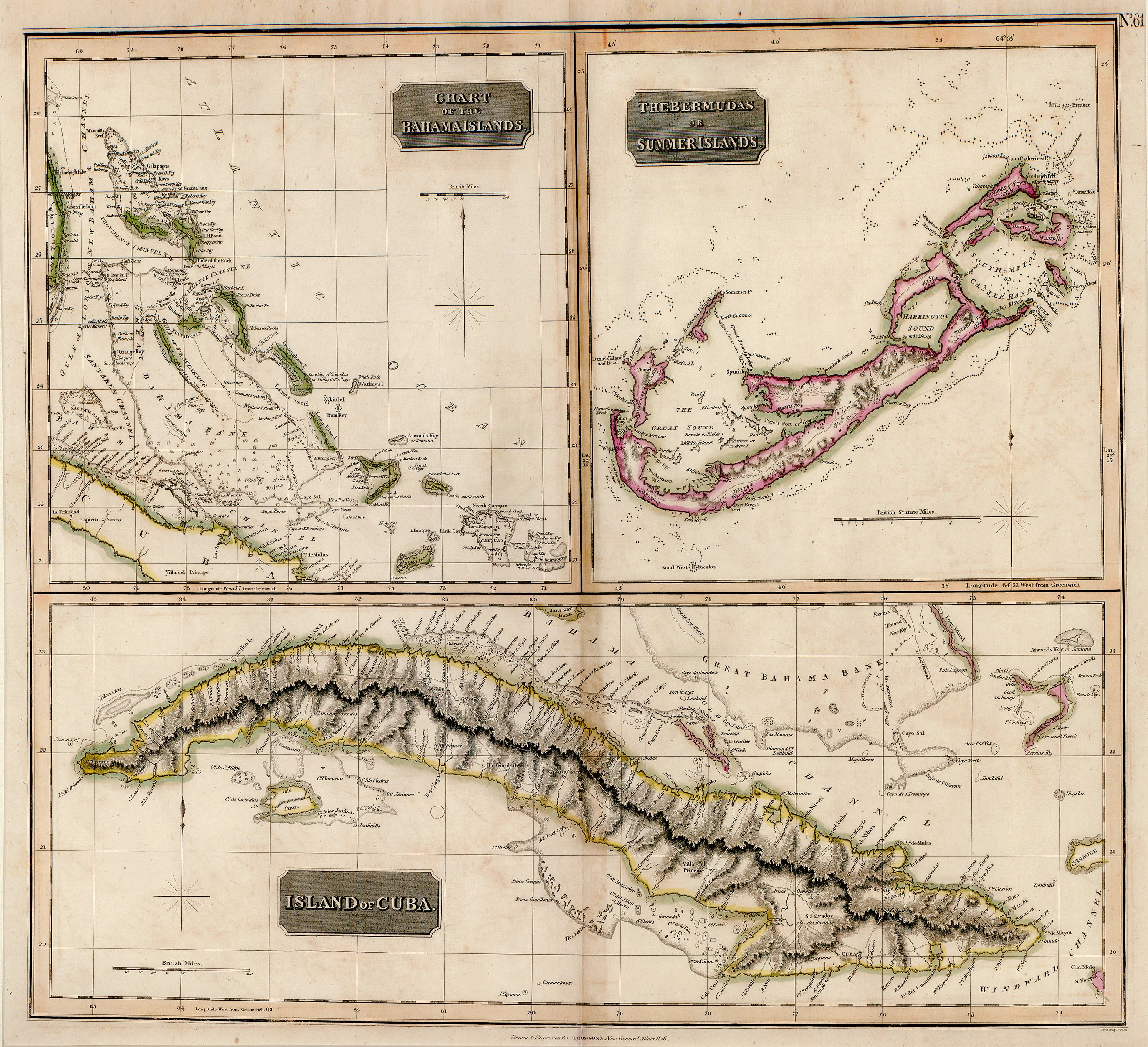
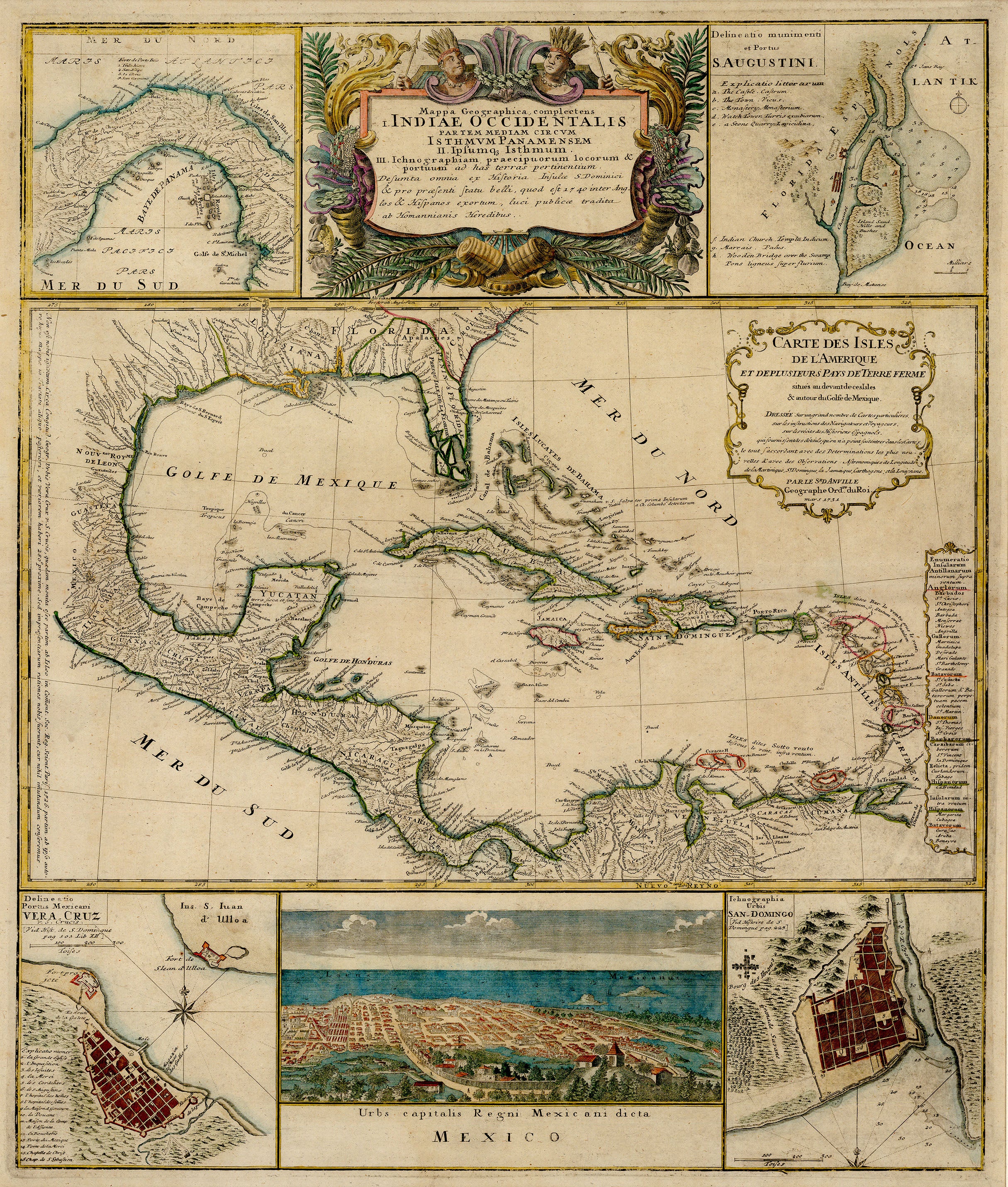
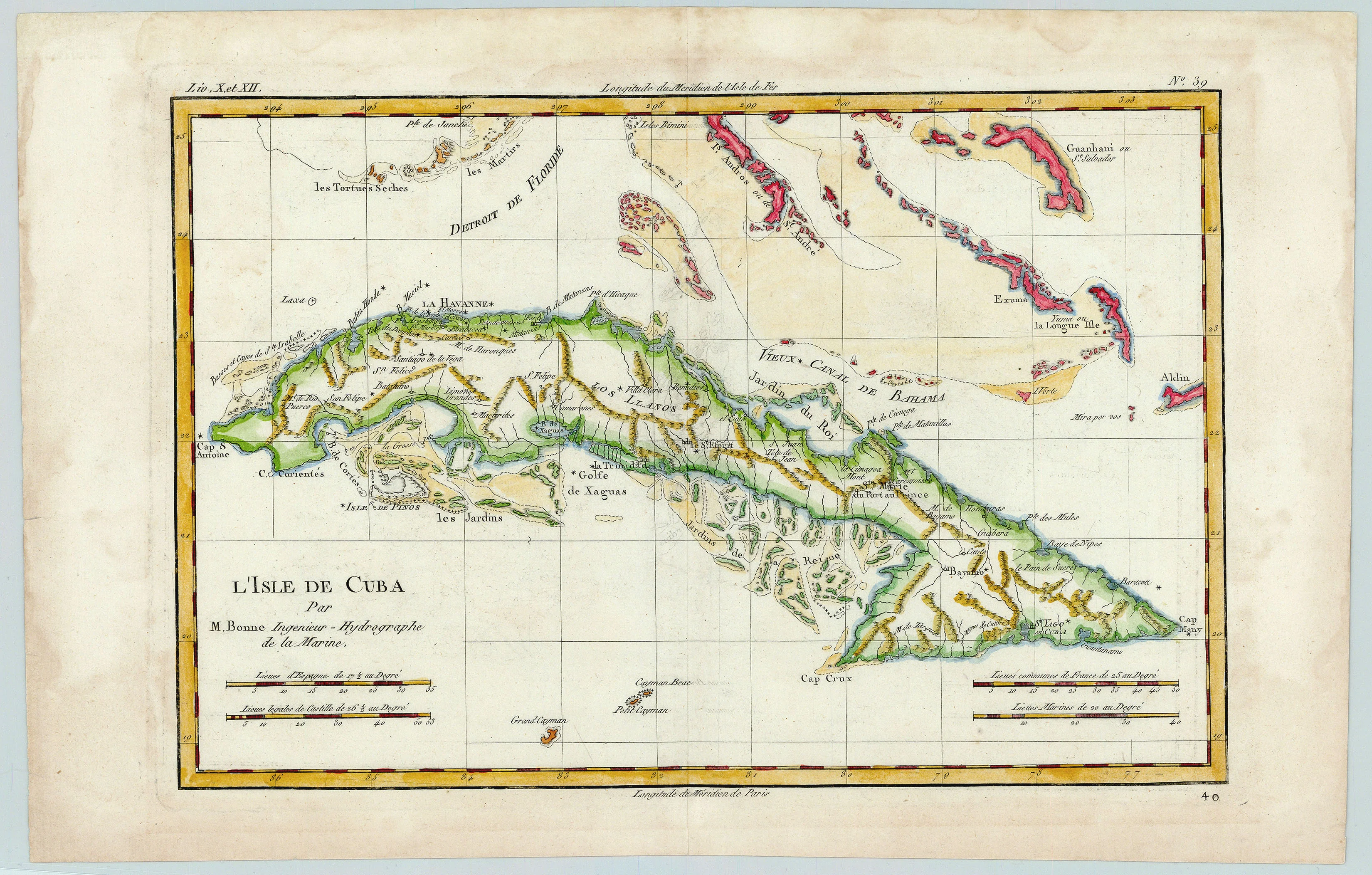
This exquisite antique sea chart by famous Dutch cartographer and publisher Jan Jansson was printed in 1650 and depicts Cuba, Hispaniola, Puerto Rico, Jamaica and the Cayman Islands, along with the Bahamas during the Colonial era.
Jan Janssonius (1588-1664) was a Dutch cartographer and publisher active in the 17th century. He was born in Arnhem and later moved to Amsterdam where he established his own publishing company. Janssonius is well known for his atlas maps, which were popular in Europe during the Dutch Golden Age.
- Author: Jan Jansson
- Date: 1650
- Medium: Hand-Colored Copperplate Engraving
- Condition: Very Good Plus
- Inches: 22.25 x 17.5 [Image]
- Centimeters: 56.5 x 44.4 [Image]
- Product ID: 233071
This exquisite antique sea chart by famous Dutch cartographer and publisher Jan Jansson was printed in 1650 and depicts Cuba, Hispaniola, Puerto Rico, Jamaica and the Cayman Islands, along with the Bahamas during the Colonial era.
Jan Janssonius (1588-1664) was a Dutch cartographer and publisher active in the 17th century. He was born in Arnhem and later moved to Amsterdam where he established his own publishing company. Janssonius is well known for his atlas maps, which were popular in Europe during the Dutch Golden Age.
Original: $2,895.00
-65%$2,895.00
$1,013.25Description
- Author: Jan Jansson
- Date: 1650
- Medium: Hand-Colored Copperplate Engraving
- Condition: Very Good Plus
- Inches: 22.25 x 17.5 [Image]
- Centimeters: 56.5 x 44.4 [Image]
- Product ID: 233071
This exquisite antique sea chart by famous Dutch cartographer and publisher Jan Jansson was printed in 1650 and depicts Cuba, Hispaniola, Puerto Rico, Jamaica and the Cayman Islands, along with the Bahamas during the Colonial era.
Jan Janssonius (1588-1664) was a Dutch cartographer and publisher active in the 17th century. He was born in Arnhem and later moved to Amsterdam where he established his own publishing company. Janssonius is well known for his atlas maps, which were popular in Europe during the Dutch Golden Age.