Sketch C [Chesapeake Bay]: Bache c. 1849
- Title: Sketch C [Chesapeake Bay]
-
Author: A. D. Bache
- Date: c. 1849
- Medium: Engraving
- Condition: Very Good - light age toning, fold lines, paper loss left margin
- Inches: 14 3/4 x 18 5/8 [Paper]
- Centimeters: 37.47 x 47.31 [Paper]
- Product ID: 317025
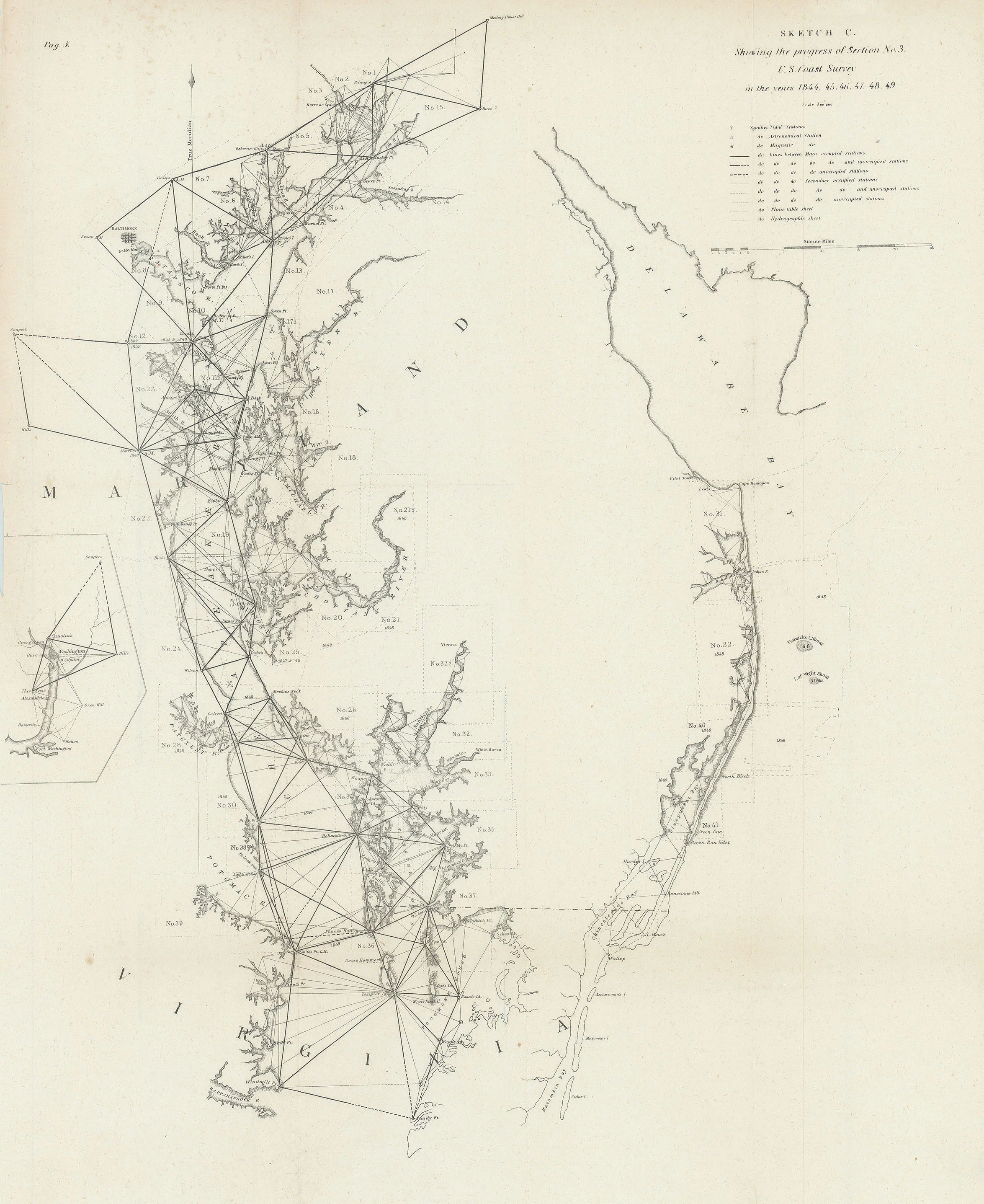
Map of the Chesapeake Bay showing parts of Delaware Bay, Maryland, and Virginia. Also depicts the cities of Baltimore, MD and the mouths of the Rappahannock, Potomac, and Susquehannah Rivers, among others. Inset to the left of the map depicts Washington, D. C., Georgetown, and Alexandria on the banks of the Potomac River.
- Title: Sketch C [Chesapeake Bay]
-
Author: A. D. Bache
- Date: c. 1849
- Medium: Engraving
- Condition: Very Good - light age toning, fold lines, paper loss left margin
- Inches: 14 3/4 x 18 5/8 [Paper]
- Centimeters: 37.47 x 47.31 [Paper]
- Product ID: 317025
Map of the Chesapeake Bay showing parts of Delaware Bay, Maryland, and Virginia. Also depicts the cities of Baltimore, MD and the mouths of the Rappahannock, Potomac, and Susquehannah Rivers, among others. Inset to the left of the map depicts Washington, D. C., Georgetown, and Alexandria on the banks of the Potomac River.
Original: $250.00
-65%$250.00
$87.50Description
- Title: Sketch C [Chesapeake Bay]
-
Author: A. D. Bache
- Date: c. 1849
- Medium: Engraving
- Condition: Very Good - light age toning, fold lines, paper loss left margin
- Inches: 14 3/4 x 18 5/8 [Paper]
- Centimeters: 37.47 x 47.31 [Paper]
- Product ID: 317025
Map of the Chesapeake Bay showing parts of Delaware Bay, Maryland, and Virginia. Also depicts the cities of Baltimore, MD and the mouths of the Rappahannock, Potomac, and Susquehannah Rivers, among others. Inset to the left of the map depicts Washington, D. C., Georgetown, and Alexandria on the banks of the Potomac River.











