Accuratissima Germaniæ Tabula: Danckerts 1690
- Title: Accuratissima Germaniæ Tabula
- Author: Justus Danckerts
- Date: 1690
- Medium: Hand-colored copperplate engraving
- Condition: Very Good
- Inches: 23 1/2 x 20 [Image]
- Centimeters: 59.7 x 50.8 [Image]
- Product ID: 233018
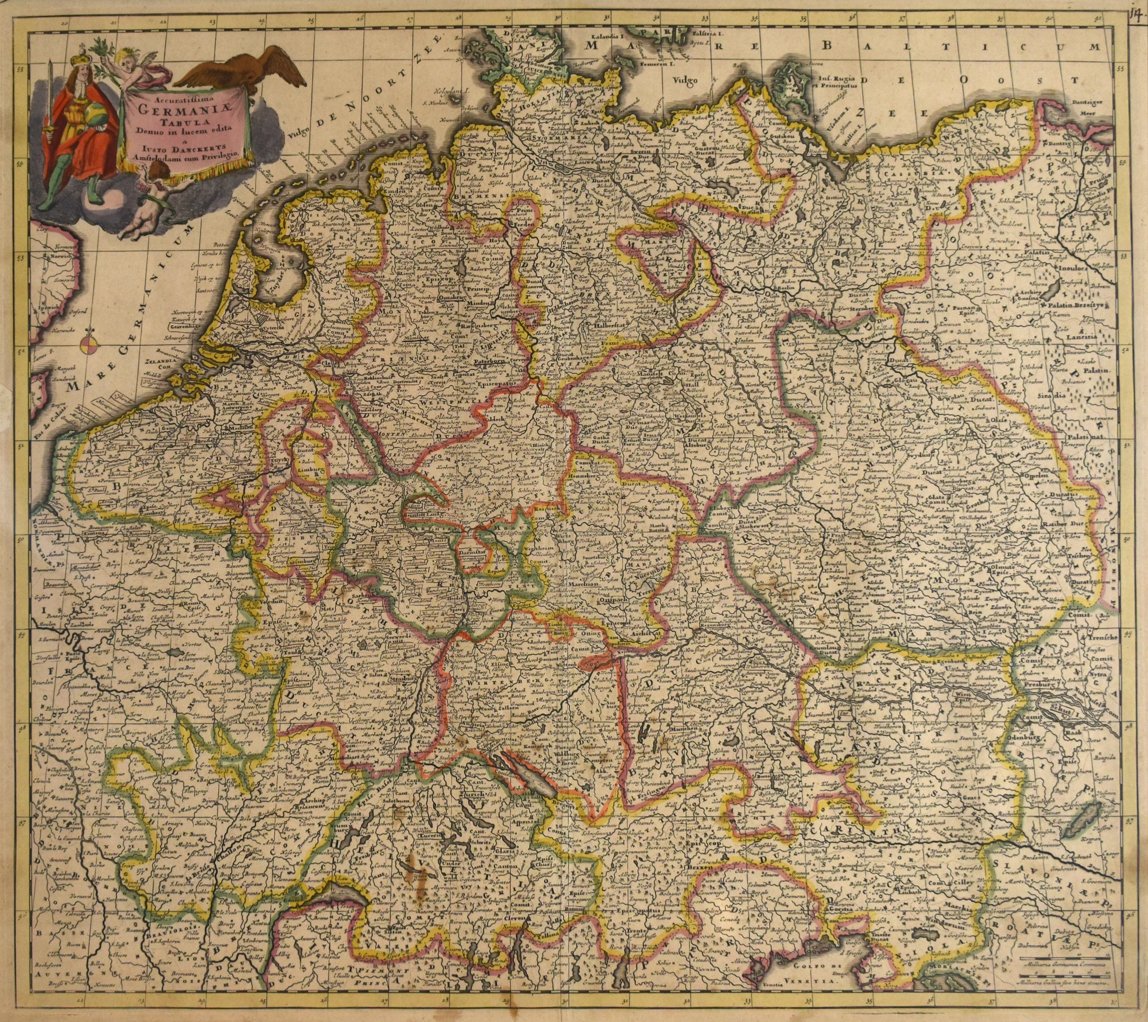
Accuratissima Germaniæ Tabula Denuo in Iucem edita a Iusto Danckerts Amstelodami cum Privilegio.
"Most Accurate Map of Germany once again brought to light by Justus Danckerts in Amsterdam with Privilege."
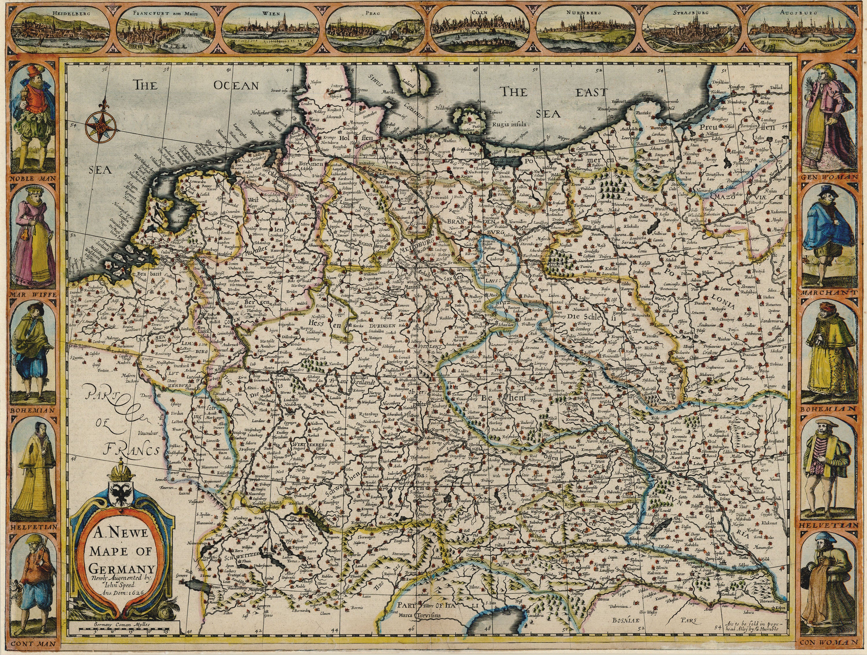
Map of Germany and its provinces. Includes the Netherlands, part of the English coast, the North Sea (or German Sea), the Baltic Sea, and parts of Denmark, France, Hungary, Croatia, Slavonia, Italy, and Poland.
- Title: Accuratissima Germaniæ Tabula
- Author: Justus Danckerts
- Date: 1690
- Medium: Hand-colored copperplate engraving
- Condition: Very Good
- Inches: 23 1/2 x 20 [Image]
- Centimeters: 59.7 x 50.8 [Image]
- Product ID: 233018
Accuratissima Germaniæ Tabula Denuo in Iucem edita a Iusto Danckerts Amstelodami cum Privilegio.
"Most Accurate Map of Germany once again brought to light by Justus Danckerts in Amsterdam with Privilege."
Map of Germany and its provinces. Includes the Netherlands, part of the English coast, the North Sea (or German Sea), the Baltic Sea, and parts of Denmark, France, Hungary, Croatia, Slavonia, Italy, and Poland.
Original: $595.00
-65%$595.00
$208.25Description
- Title: Accuratissima Germaniæ Tabula
- Author: Justus Danckerts
- Date: 1690
- Medium: Hand-colored copperplate engraving
- Condition: Very Good
- Inches: 23 1/2 x 20 [Image]
- Centimeters: 59.7 x 50.8 [Image]
- Product ID: 233018
Accuratissima Germaniæ Tabula Denuo in Iucem edita a Iusto Danckerts Amstelodami cum Privilegio.
"Most Accurate Map of Germany once again brought to light by Justus Danckerts in Amsterdam with Privilege."
Map of Germany and its provinces. Includes the Netherlands, part of the English coast, the North Sea (or German Sea), the Baltic Sea, and parts of Denmark, France, Hungary, Croatia, Slavonia, Italy, and Poland.