Map of the West Indies: Mitchell c. 1850
- Title: Map of the West Indies
- Author: Augustus Mitchell
- Date: c. 1850
- Medium: Hand-colored lithograph
- Condition: Very Good - age toning, foxing, original hand color
- Inches: 11 3/4 x 9 5/8 [Paper]
- Centimeters: 29.85 x 24.45 [Paper]
- Product ID: 100686
Verso: South America
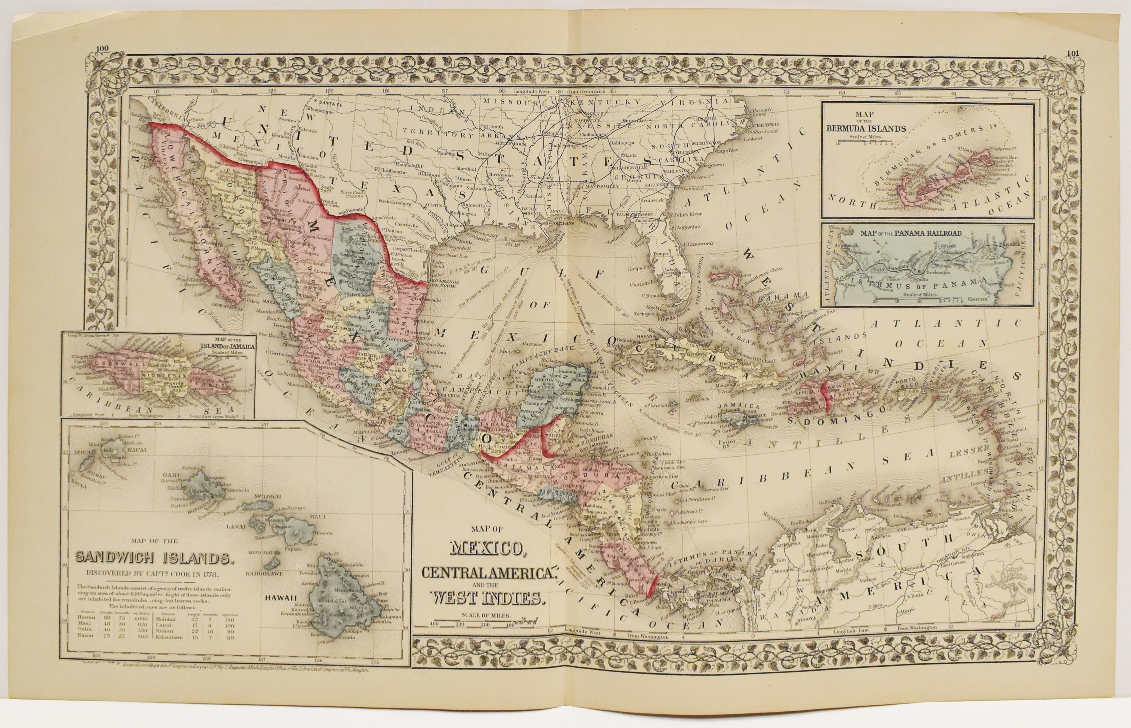
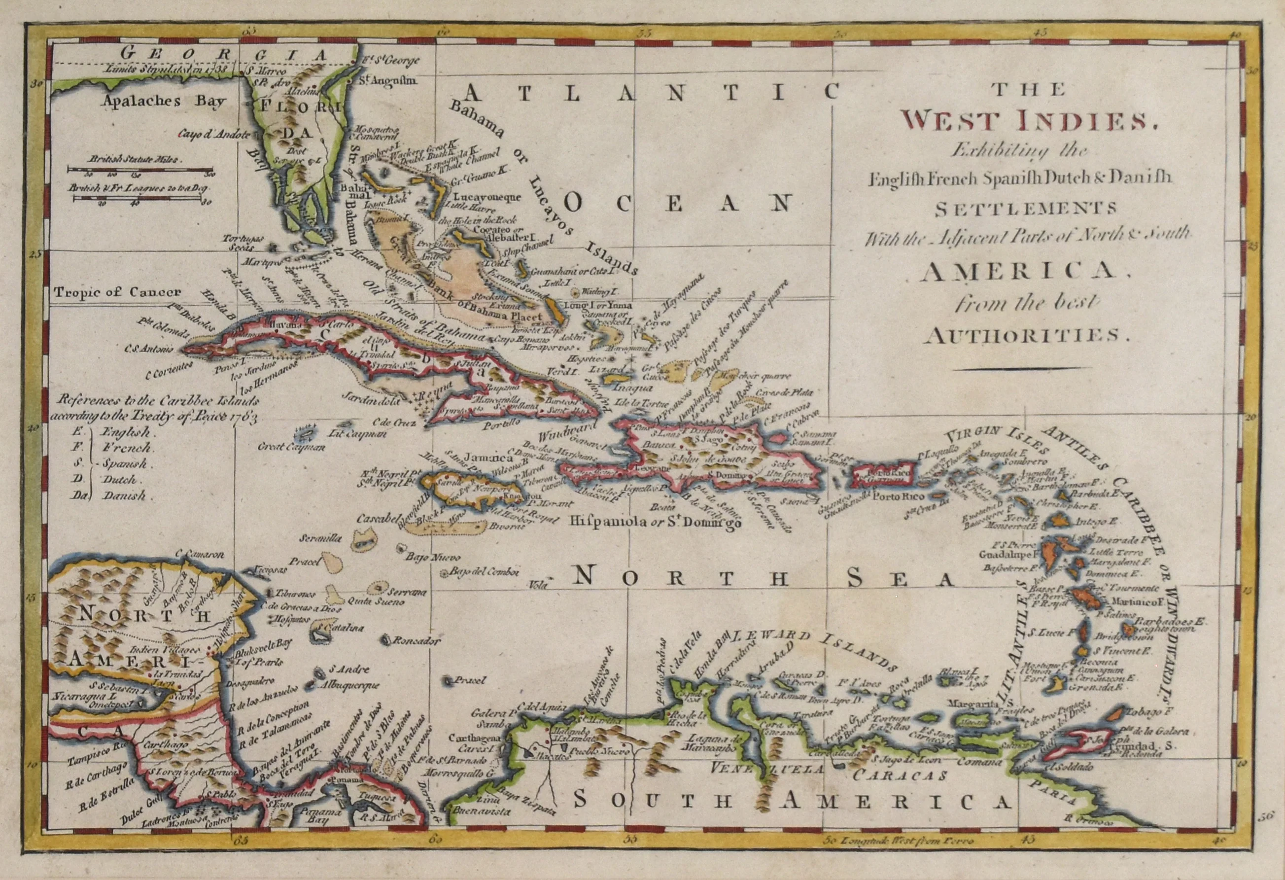
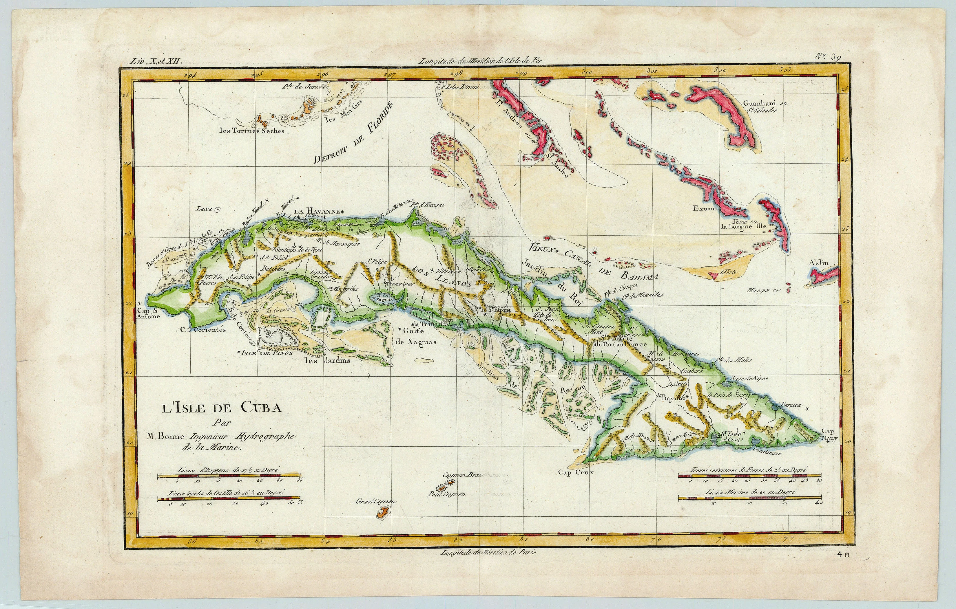
Map of the Caribbean showing Cuba, Haiti, Jamaica, Puerto Rico, the Bahamas, the Lesser Antilles, and parts of Florida, Mexico, and South America. Contains two inset maps: Island of Cuba and Island of Hayti.
- Title: Map of the West Indies
- Author: Augustus Mitchell
- Date: c. 1850
- Medium: Hand-colored lithograph
- Condition: Very Good - age toning, foxing, original hand color
- Inches: 11 3/4 x 9 5/8 [Paper]
- Centimeters: 29.85 x 24.45 [Paper]
- Product ID: 100686
Verso: South America
Map of the Caribbean showing Cuba, Haiti, Jamaica, Puerto Rico, the Bahamas, the Lesser Antilles, and parts of Florida, Mexico, and South America. Contains two inset maps: Island of Cuba and Island of Hayti.
$17.50
Original: $50.00
-65%Map of the West Indies: Mitchell c. 1850—
$50.00
$17.50Description
- Title: Map of the West Indies
- Author: Augustus Mitchell
- Date: c. 1850
- Medium: Hand-colored lithograph
- Condition: Very Good - age toning, foxing, original hand color
- Inches: 11 3/4 x 9 5/8 [Paper]
- Centimeters: 29.85 x 24.45 [Paper]
- Product ID: 100686
Verso: South America
Map of the Caribbean showing Cuba, Haiti, Jamaica, Puerto Rico, the Bahamas, the Lesser Antilles, and parts of Florida, Mexico, and South America. Contains two inset maps: Island of Cuba and Island of Hayti.