Mexico, Mittel-America, Texas: Flemming 1853
- Title: Mexico, Mittel-America, Texas
- Author: Carl Flemming
- Date: 1853
- Medium: Hand-colored engraving
- Condition: Very Good - original hand-colored outlines
- Inches: 17 1/4 x 14 [Paper]
- Centimeters: 43.82 x 35.56 [Paper]
- Product ID: 319075
In fine conservation framing by The Antiquarium.
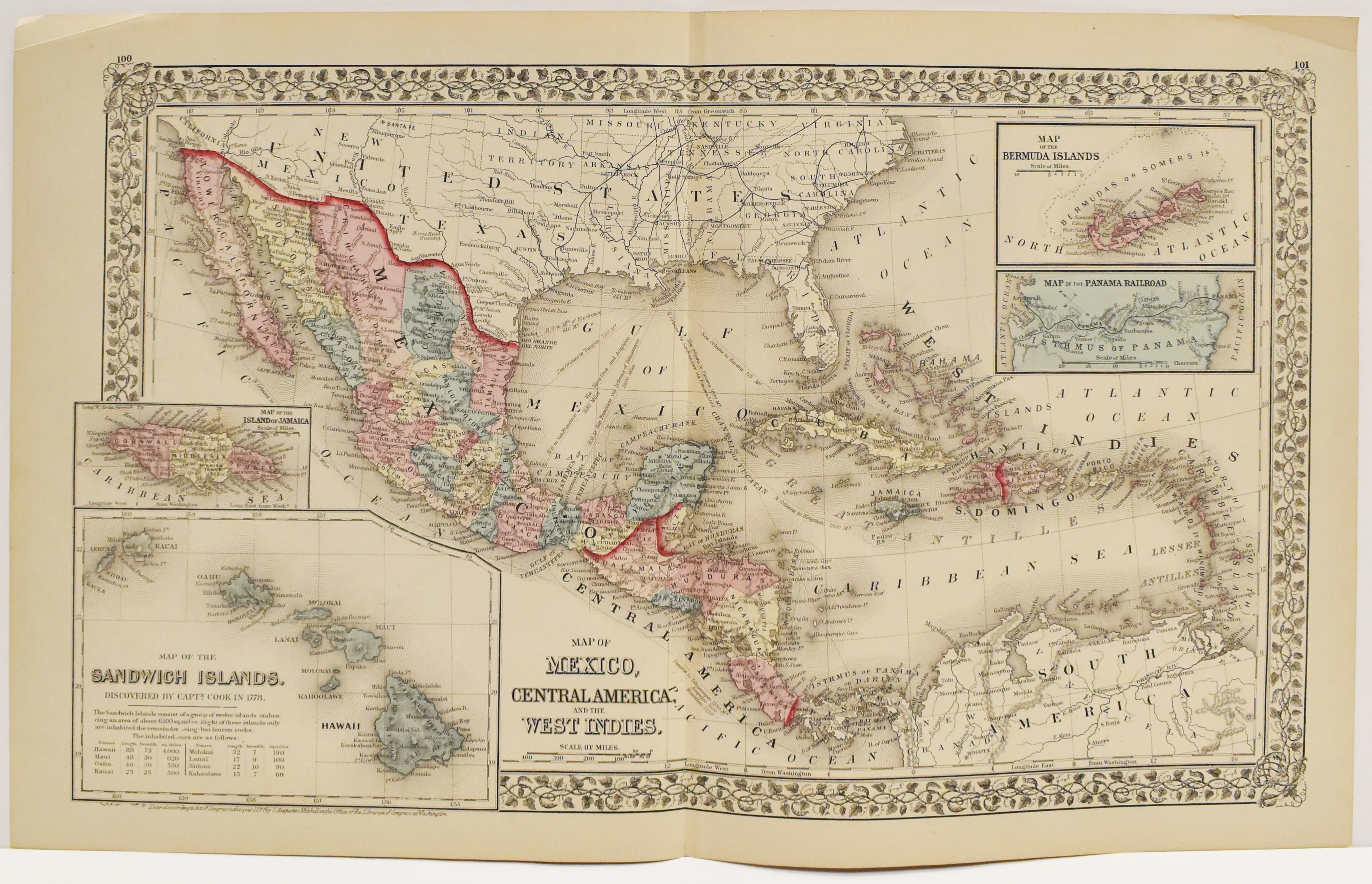
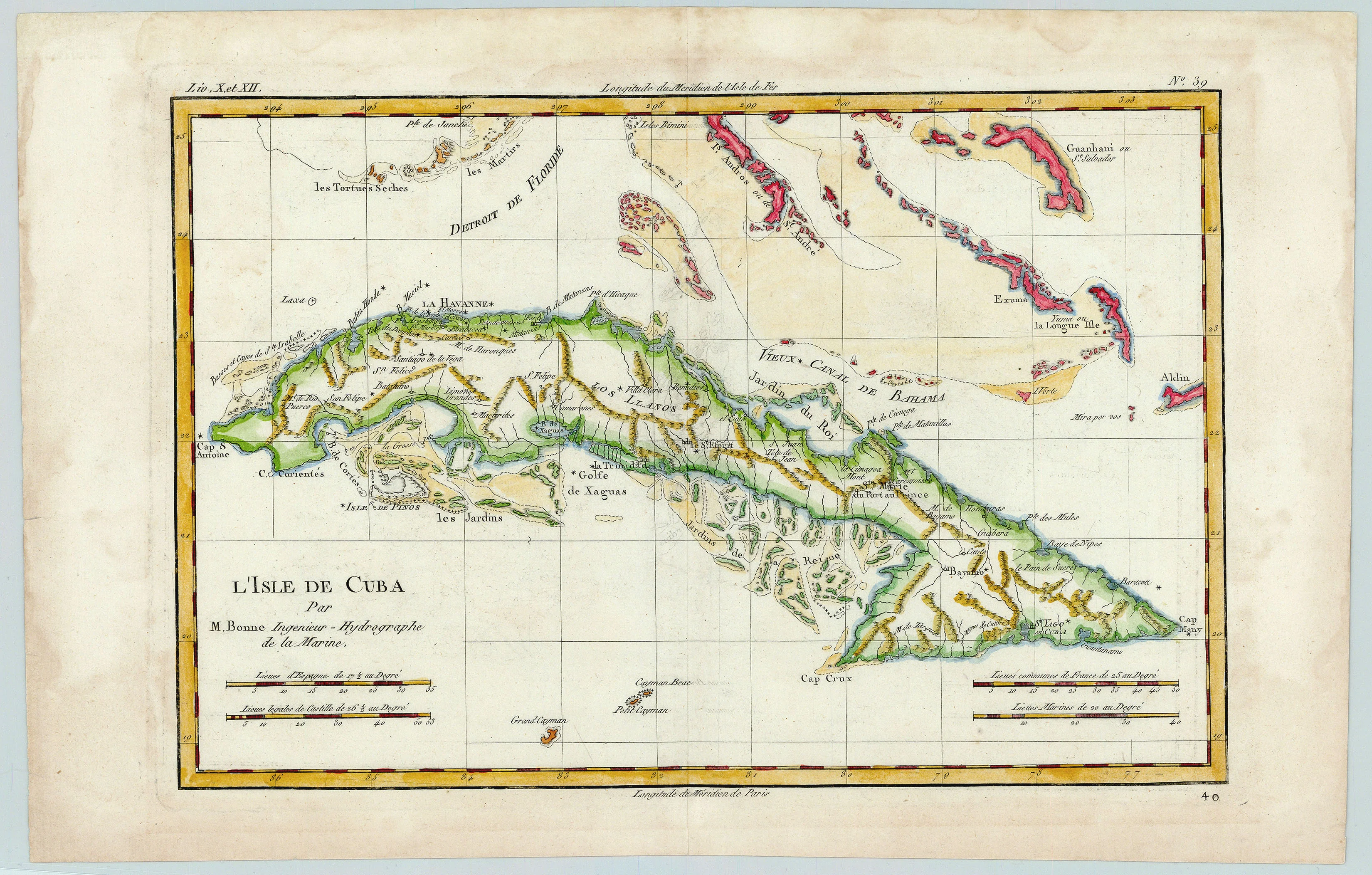
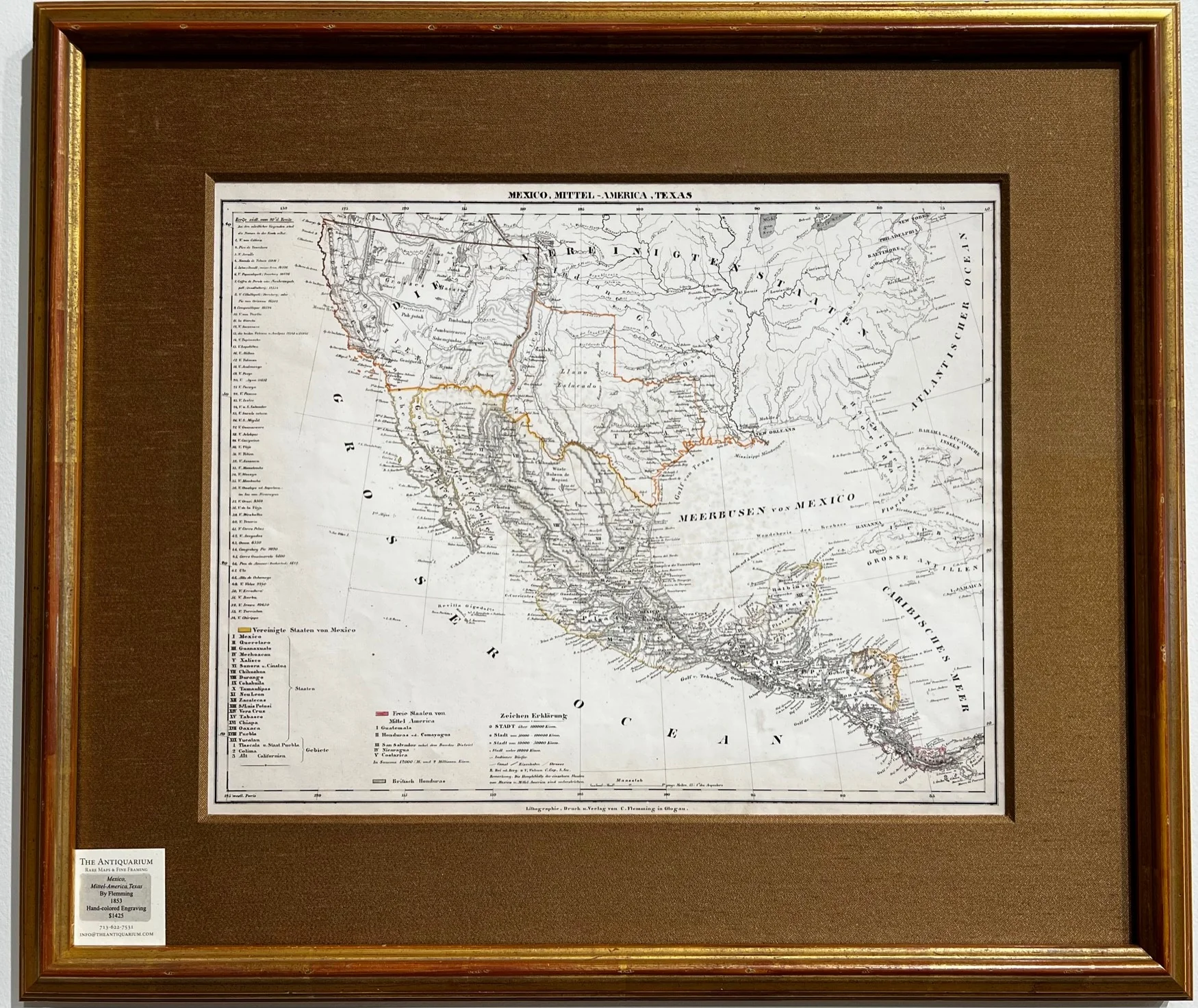
Map of Mexico, Central America, Texas, and parts of the United States published by Carl Flemming in Glogau, Silesia. Along the left-hand margin appears a list titled Berge südl. Vom 20°d. Breite [Mountains south of 20 degrees Latitude], adding below that any mountains north of this line are labeled on the map itself. Territorial boundaries depict an incredibly large Texas, extending its reach west to the Sierra Madres. Map also shows portions of the Caribbean such as Cuba, Jamaica, and the Bahamas.
- Title: Mexico, Mittel-America, Texas
- Author: Carl Flemming
- Date: 1853
- Medium: Hand-colored engraving
- Condition: Very Good - original hand-colored outlines
- Inches: 17 1/4 x 14 [Paper]
- Centimeters: 43.82 x 35.56 [Paper]
- Product ID: 319075
In fine conservation framing by The Antiquarium.
Map of Mexico, Central America, Texas, and parts of the United States published by Carl Flemming in Glogau, Silesia. Along the left-hand margin appears a list titled Berge südl. Vom 20°d. Breite [Mountains south of 20 degrees Latitude], adding below that any mountains north of this line are labeled on the map itself. Territorial boundaries depict an incredibly large Texas, extending its reach west to the Sierra Madres. Map also shows portions of the Caribbean such as Cuba, Jamaica, and the Bahamas.
Description
- Title: Mexico, Mittel-America, Texas
- Author: Carl Flemming
- Date: 1853
- Medium: Hand-colored engraving
- Condition: Very Good - original hand-colored outlines
- Inches: 17 1/4 x 14 [Paper]
- Centimeters: 43.82 x 35.56 [Paper]
- Product ID: 319075
In fine conservation framing by The Antiquarium.
Map of Mexico, Central America, Texas, and parts of the United States published by Carl Flemming in Glogau, Silesia. Along the left-hand margin appears a list titled Berge südl. Vom 20°d. Breite [Mountains south of 20 degrees Latitude], adding below that any mountains north of this line are labeled on the map itself. Territorial boundaries depict an incredibly large Texas, extending its reach west to the Sierra Madres. Map also shows portions of the Caribbean such as Cuba, Jamaica, and the Bahamas.