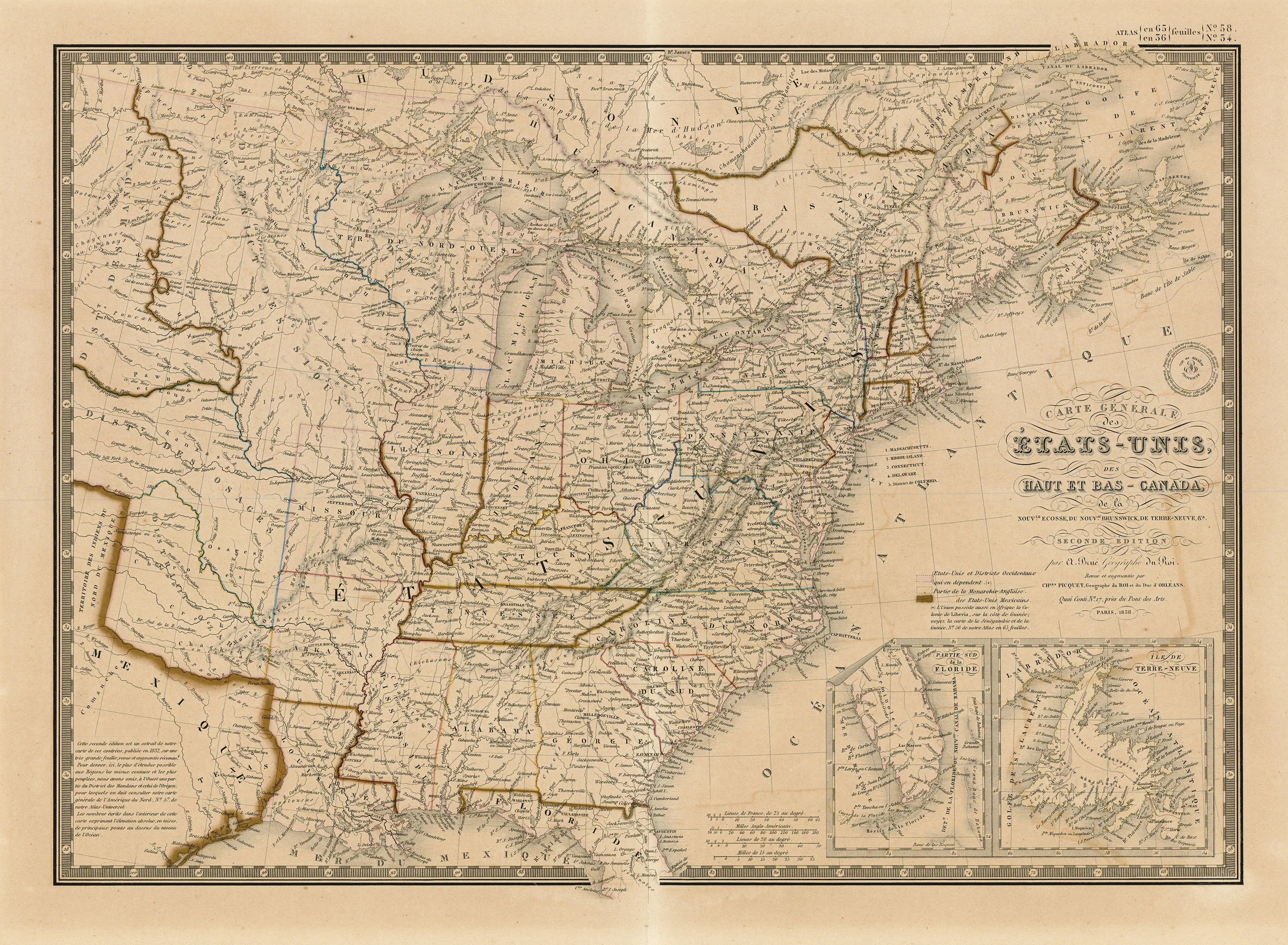
Carte Générale des États-Unis, des Haut et Bas-Canada: Brué, Picquet 1838
- Title: Carte Générale des États-Unis, des Haut et Bas-Canada
- Author: Adrien Brué, Charles Picquet
- Date: 1838
- Medium: Hand-colored engraving
- Condition: Good - toning, line of discoloration from old matting, light foxing, faded original color
- Inches: 26 3/8 x 21 [Paper]
- Centimeters: 66.99 x 53.34 [Paper]
- Product ID: 319035
by A. Brué Geographer to the King.
Revised and augmented by
Quai Conti No. 17, near the Pont des Arts.
Paris, 1838.
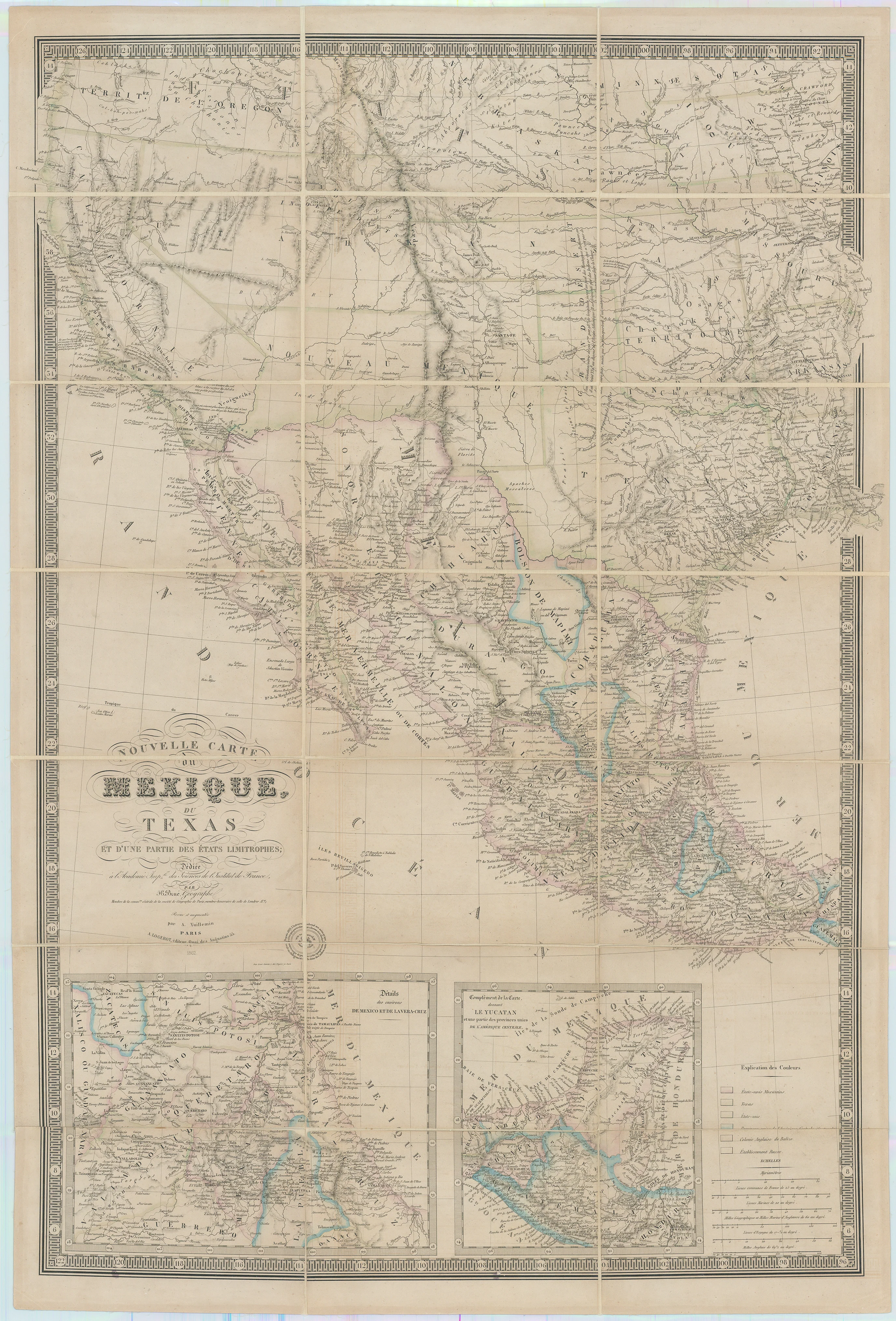
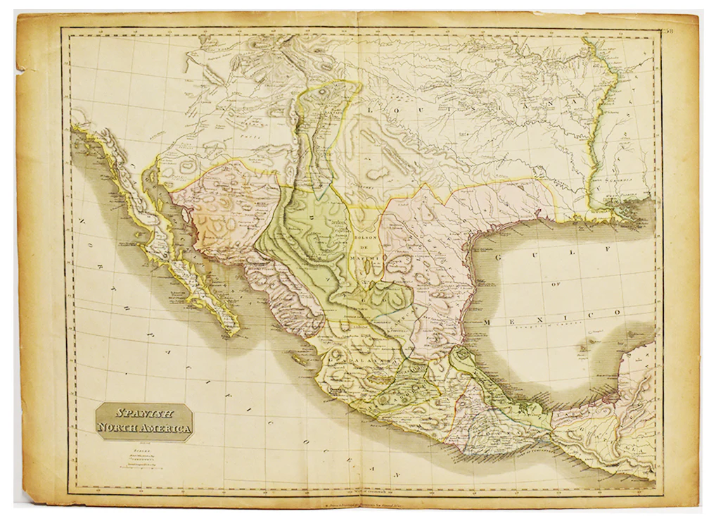
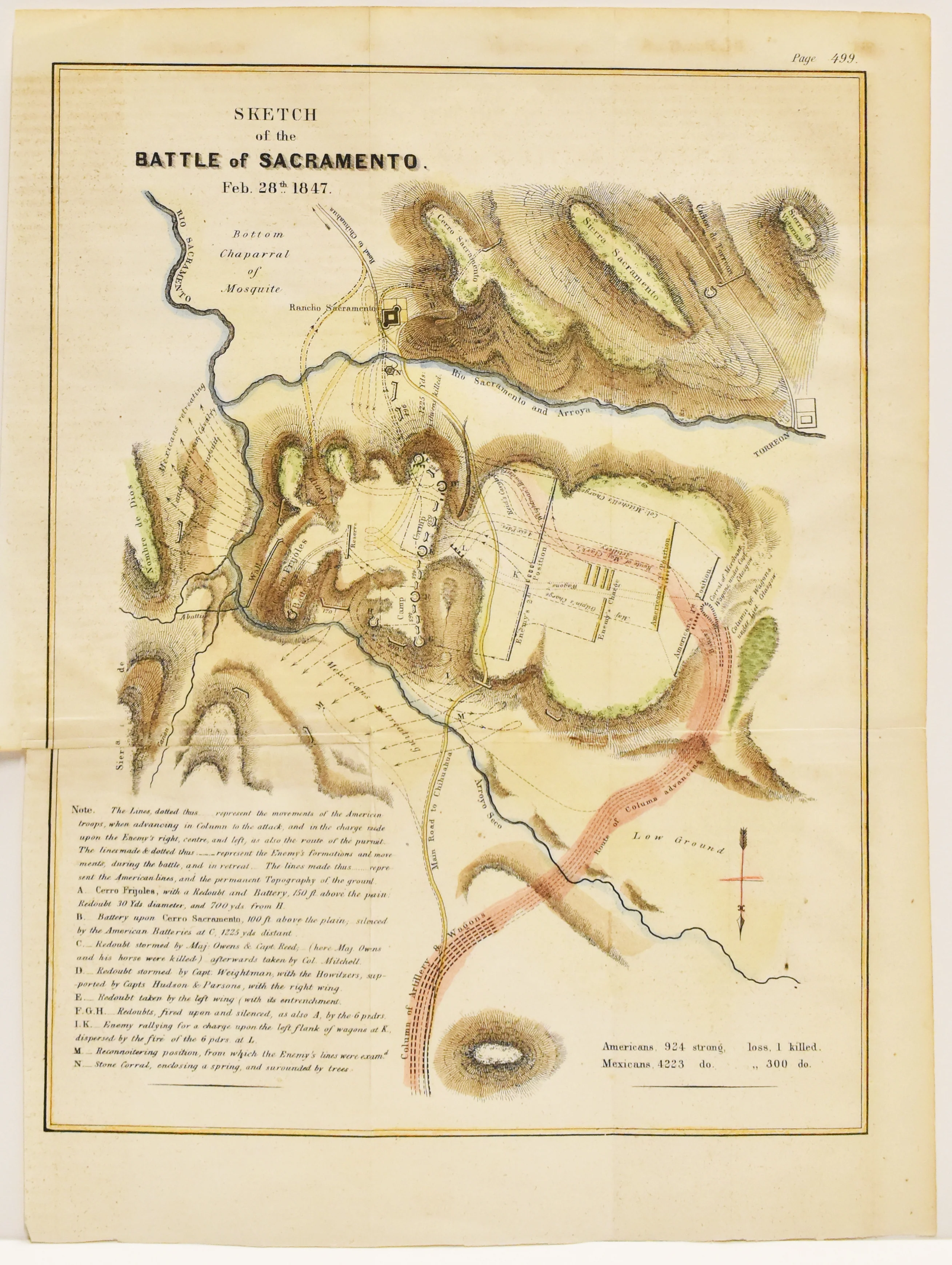
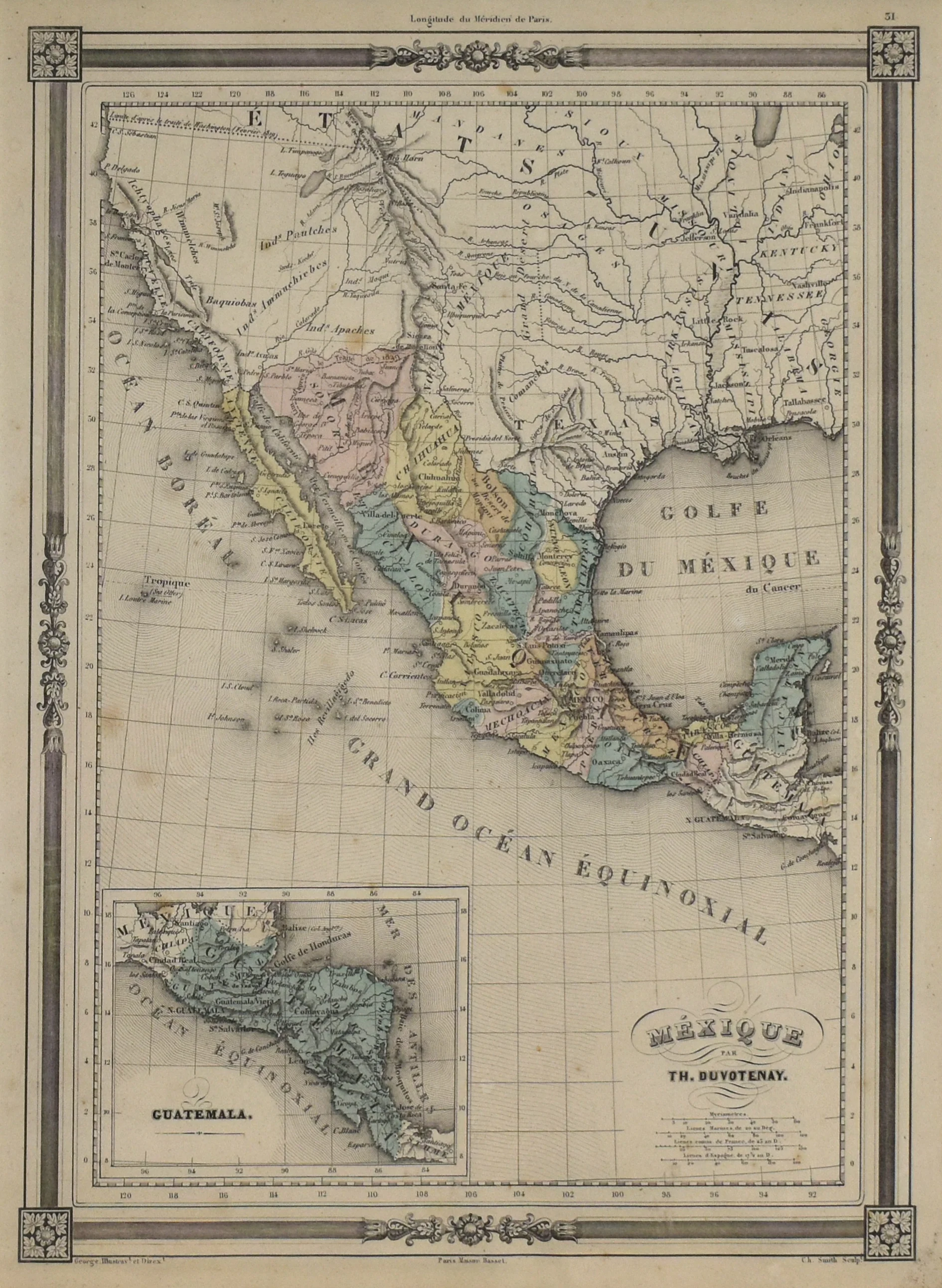
Map of the United States along with parts of Canada and Mexico by Adrien Brué. Although published in 1838 after Texas had won independence, the map labels Texas as Mexico, suggesting otherwise. Includes proprietary blind stamp next to title, and two insets titled Partie Sud de la Floride and Île de Terre-Neuve. Longitude from Paris.
- Title: Carte Générale des États-Unis, des Haut et Bas-Canada
- Author: Adrien Brué, Charles Picquet
- Date: 1838
- Medium: Hand-colored engraving
- Condition: Good - toning, line of discoloration from old matting, light foxing, faded original color
- Inches: 26 3/8 x 21 [Paper]
- Centimeters: 66.99 x 53.34 [Paper]
- Product ID: 319035
by A. Brué Geographer to the King.
Revised and augmented by
Quai Conti No. 17, near the Pont des Arts.
Paris, 1838.
Map of the United States along with parts of Canada and Mexico by Adrien Brué. Although published in 1838 after Texas had won independence, the map labels Texas as Mexico, suggesting otherwise. Includes proprietary blind stamp next to title, and two insets titled Partie Sud de la Floride and Île de Terre-Neuve. Longitude from Paris.
Description
- Title: Carte Générale des États-Unis, des Haut et Bas-Canada
- Author: Adrien Brué, Charles Picquet
- Date: 1838
- Medium: Hand-colored engraving
- Condition: Good - toning, line of discoloration from old matting, light foxing, faded original color
- Inches: 26 3/8 x 21 [Paper]
- Centimeters: 66.99 x 53.34 [Paper]
- Product ID: 319035
by A. Brué Geographer to the King.
Revised and augmented by
Quai Conti No. 17, near the Pont des Arts.
Paris, 1838.
Map of the United States along with parts of Canada and Mexico by Adrien Brué. Although published in 1838 after Texas had won independence, the map labels Texas as Mexico, suggesting otherwise. Includes proprietary blind stamp next to title, and two insets titled Partie Sud de la Floride and Île de Terre-Neuve. Longitude from Paris.