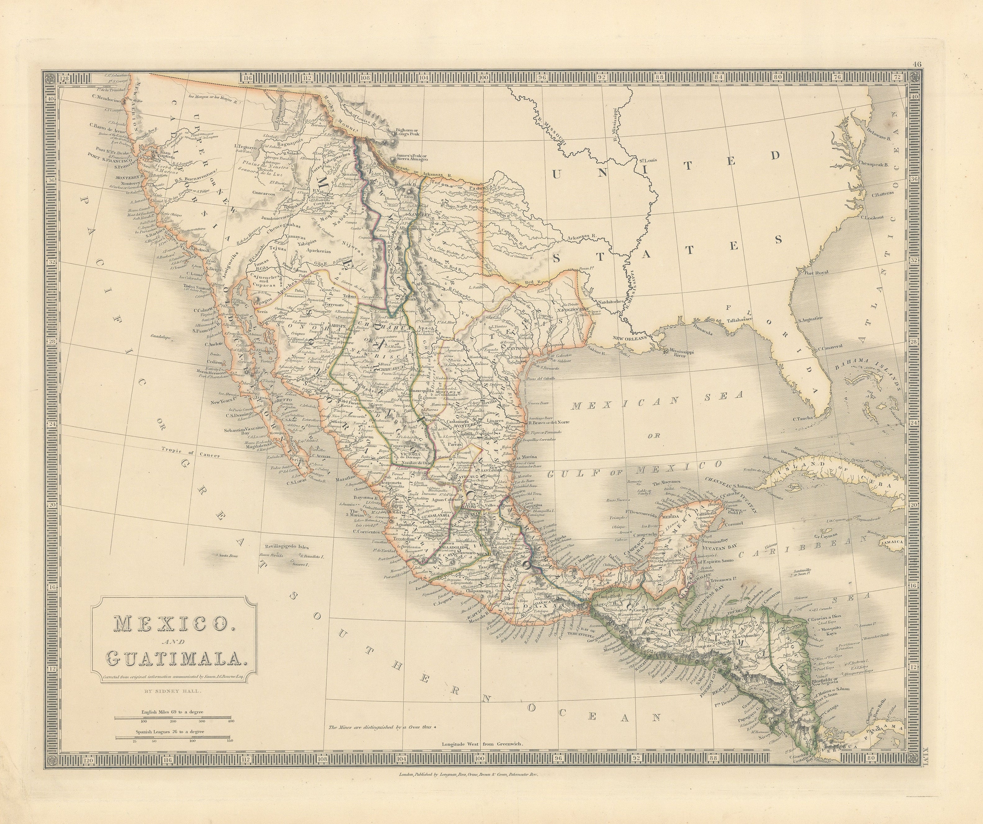
Mexico & Guatimala: Hall, c. 1835 - Republic of Texas!
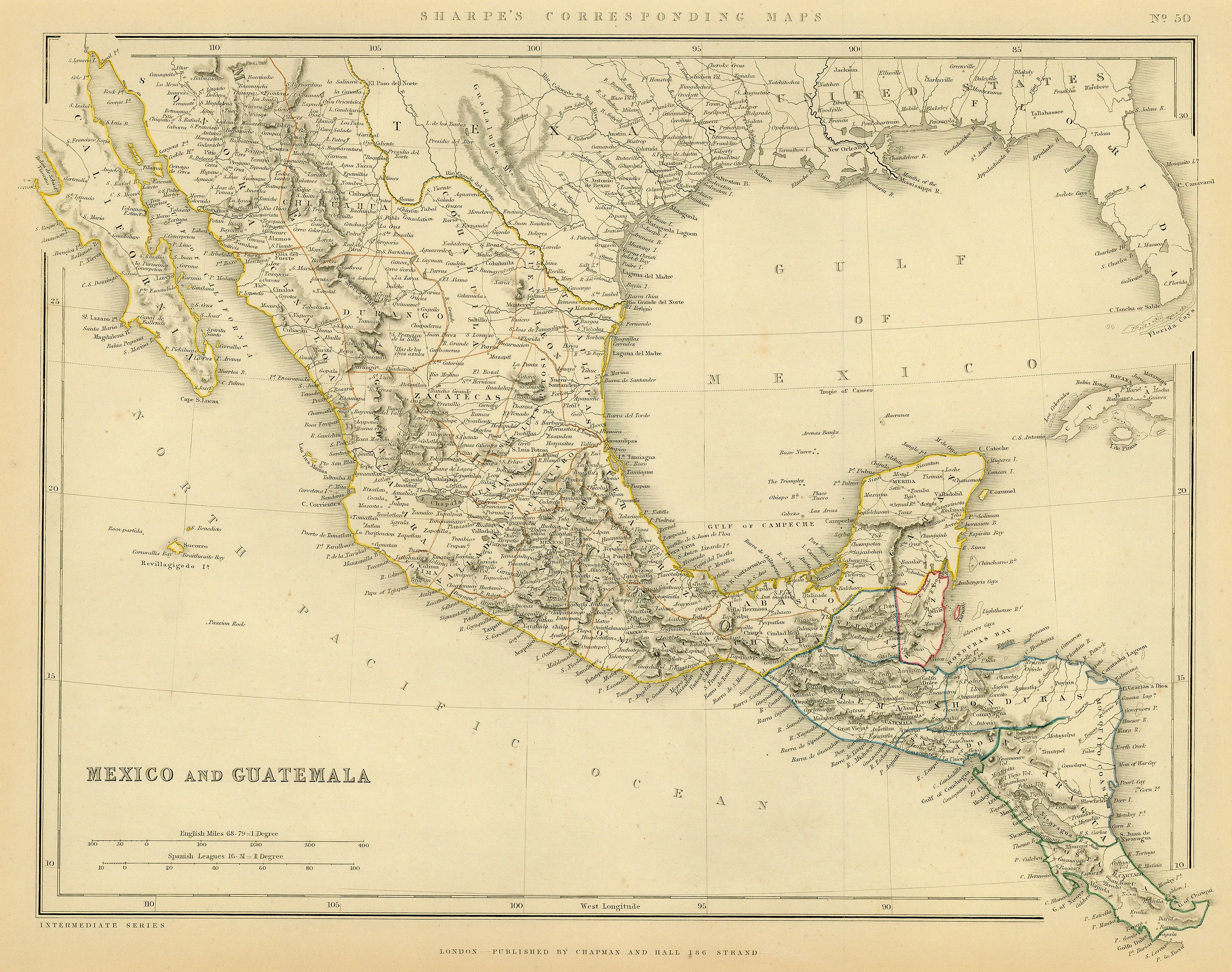
- Title: Mexico and Guatimala corrected from original information communicated by Simon A.G. Bourne Esq.
- Author: Sidney Hall
- Date: c.1835
- Condition: Very Good - Crisp impression with vibrant original color, age-approriate toning throughout.
- Inches: 20 1/8 x 16 1/8 [Image]
- Centimeters: 51.11 x 40.95 [Image]
- Product ID: 308675
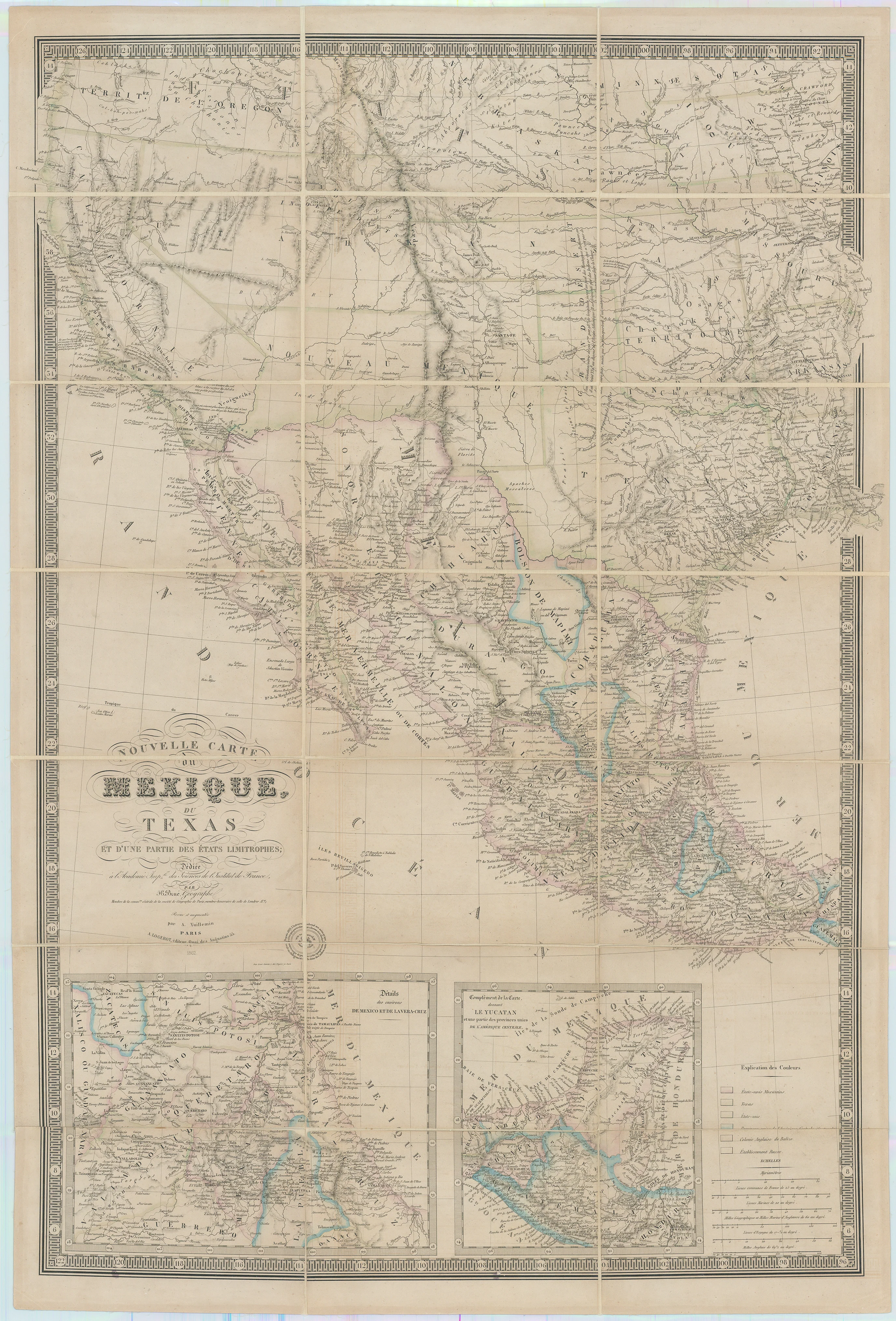
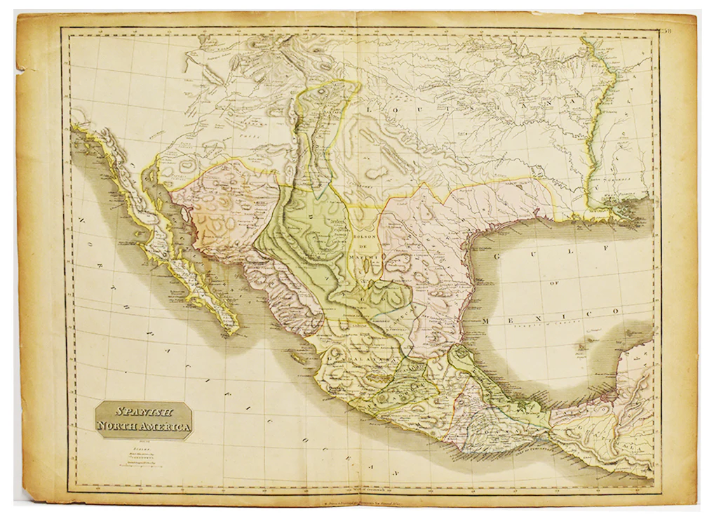
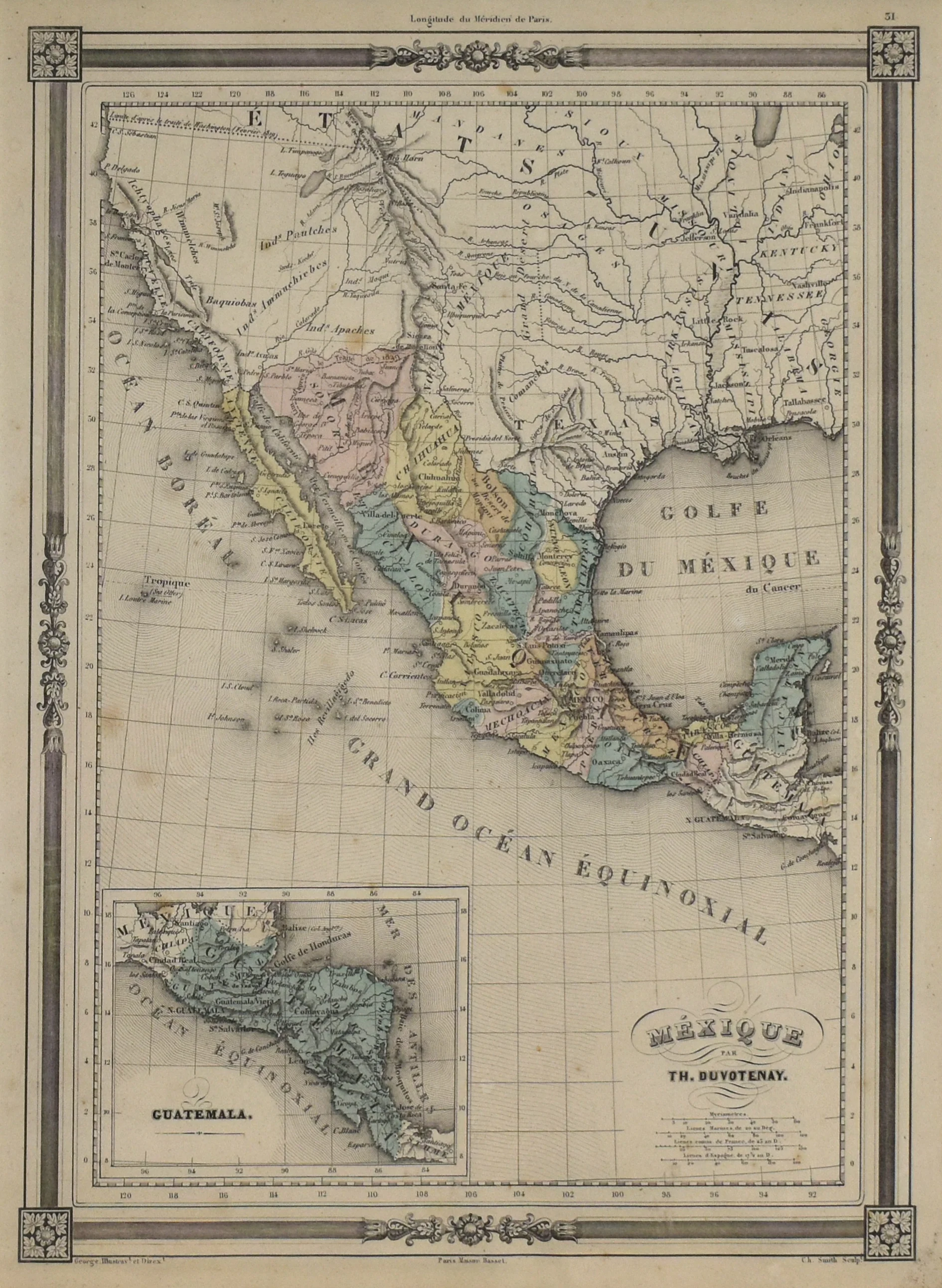
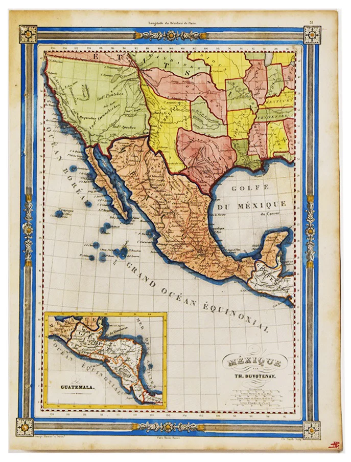
This finely engraved mid‑19th‑century map presents Mexico and Central America from the northern border with the United States down through Panama, depicting national and regional boundaries in hand‑colored outline, a dense network of towns, roads, and rivers, and coastal features along the Gulf of Mexico and Pacific Ocean.
In 1828, Mexico was a young federal republic still struggling to stabilize after independence, operating under the 1824 constitution but riven by factional conflicts between liberal and conservative elites. That year’s contentious presidential election, initially won by Manuel Gómez Pedraza but overturned under military and popular pressure in favor of Vicente Guerrero, exposed the fragility of Mexico’s electoral institutions and set a pattern of pronunciamientos, riots, and contested successions that would plague the republic’s politics for decades.
The region shown as Texas on the map was not yet an independent republic but part of the Mexican state of Coahuila y Tejas, sparsely populated and increasingly dominated demographically by Anglo-American colonists brought in under empresario contracts such as Stephen F. Austin’s. That same year, General Manuel de Mier y Terán’s inspection tour and boundary work along the Sabine River, following the Adams–Onís line, alerted Mexican authorities that Anglo settlers vastly outnumbered Tejanos, heightening fears of eventual rebellion and annexation to the United States.
Background on Creator
Sidney Hall (ca. 1788–1831) was a British engraver and cartographer renowned for finely executed early nineteenth‑century atlas maps of the British Isles, Europe, and the wider world, including America. Working from London addresses in Piccadilly, the Strand, and later Bloomsbury, he engraved for prominent publishers such as William Faden, Aaron Arrowsmith, Longman, Rees, Orme, Brown & Green, and is credited as one of the first map engravers to adopt steel plates, which allowed for exceptionally crisp lines and large print runs.
Rarity
First appearance on the market since 2013 - Dorothy Sloan Auction 23, April 4 & 5, 2013.
- Title: Mexico and Guatimala corrected from original information communicated by Simon A.G. Bourne Esq.
- Author: Sidney Hall
- Date: c.1835
- Condition: Very Good - Crisp impression with vibrant original color, age-approriate toning throughout.
- Inches: 20 1/8 x 16 1/8 [Image]
- Centimeters: 51.11 x 40.95 [Image]
- Product ID: 308675
This finely engraved mid‑19th‑century map presents Mexico and Central America from the northern border with the United States down through Panama, depicting national and regional boundaries in hand‑colored outline, a dense network of towns, roads, and rivers, and coastal features along the Gulf of Mexico and Pacific Ocean.
In 1828, Mexico was a young federal republic still struggling to stabilize after independence, operating under the 1824 constitution but riven by factional conflicts between liberal and conservative elites. That year’s contentious presidential election, initially won by Manuel Gómez Pedraza but overturned under military and popular pressure in favor of Vicente Guerrero, exposed the fragility of Mexico’s electoral institutions and set a pattern of pronunciamientos, riots, and contested successions that would plague the republic’s politics for decades.
The region shown as Texas on the map was not yet an independent republic but part of the Mexican state of Coahuila y Tejas, sparsely populated and increasingly dominated demographically by Anglo-American colonists brought in under empresario contracts such as Stephen F. Austin’s. That same year, General Manuel de Mier y Terán’s inspection tour and boundary work along the Sabine River, following the Adams–Onís line, alerted Mexican authorities that Anglo settlers vastly outnumbered Tejanos, heightening fears of eventual rebellion and annexation to the United States.
Background on Creator
Sidney Hall (ca. 1788–1831) was a British engraver and cartographer renowned for finely executed early nineteenth‑century atlas maps of the British Isles, Europe, and the wider world, including America. Working from London addresses in Piccadilly, the Strand, and later Bloomsbury, he engraved for prominent publishers such as William Faden, Aaron Arrowsmith, Longman, Rees, Orme, Brown & Green, and is credited as one of the first map engravers to adopt steel plates, which allowed for exceptionally crisp lines and large print runs.
Rarity
First appearance on the market since 2013 - Dorothy Sloan Auction 23, April 4 & 5, 2013.
Original: $995.00
-65%$995.00
$348.25Description
- Title: Mexico and Guatimala corrected from original information communicated by Simon A.G. Bourne Esq.
- Author: Sidney Hall
- Date: c.1835
- Condition: Very Good - Crisp impression with vibrant original color, age-approriate toning throughout.
- Inches: 20 1/8 x 16 1/8 [Image]
- Centimeters: 51.11 x 40.95 [Image]
- Product ID: 308675
This finely engraved mid‑19th‑century map presents Mexico and Central America from the northern border with the United States down through Panama, depicting national and regional boundaries in hand‑colored outline, a dense network of towns, roads, and rivers, and coastal features along the Gulf of Mexico and Pacific Ocean.
In 1828, Mexico was a young federal republic still struggling to stabilize after independence, operating under the 1824 constitution but riven by factional conflicts between liberal and conservative elites. That year’s contentious presidential election, initially won by Manuel Gómez Pedraza but overturned under military and popular pressure in favor of Vicente Guerrero, exposed the fragility of Mexico’s electoral institutions and set a pattern of pronunciamientos, riots, and contested successions that would plague the republic’s politics for decades.
The region shown as Texas on the map was not yet an independent republic but part of the Mexican state of Coahuila y Tejas, sparsely populated and increasingly dominated demographically by Anglo-American colonists brought in under empresario contracts such as Stephen F. Austin’s. That same year, General Manuel de Mier y Terán’s inspection tour and boundary work along the Sabine River, following the Adams–Onís line, alerted Mexican authorities that Anglo settlers vastly outnumbered Tejanos, heightening fears of eventual rebellion and annexation to the United States.
Background on Creator
Sidney Hall (ca. 1788–1831) was a British engraver and cartographer renowned for finely executed early nineteenth‑century atlas maps of the British Isles, Europe, and the wider world, including America. Working from London addresses in Piccadilly, the Strand, and later Bloomsbury, he engraved for prominent publishers such as William Faden, Aaron Arrowsmith, Longman, Rees, Orme, Brown & Green, and is credited as one of the first map engravers to adopt steel plates, which allowed for exceptionally crisp lines and large print runs.
Rarity
First appearance on the market since 2013 - Dorothy Sloan Auction 23, April 4 & 5, 2013.