Map of the De Soto-Red River Oil and Gas Field, Louisiana: U. S. Geological Survey 1918
- Title: Map of the De Soto-Red River Oil and Gas Field, Louisiana
- Author: U. S. Geological Survey
- Date: 1918
- Medium: Chromolithograph
- Condition: Good - age toning, wear and discoloration along fold lines, discoloration from old adhesive in upper margin
- Inches: 22 1/2 x 17 1/2 [Image]
- Centimeters: 57.15 x 44.45 [Image]
- Product ID: 101134
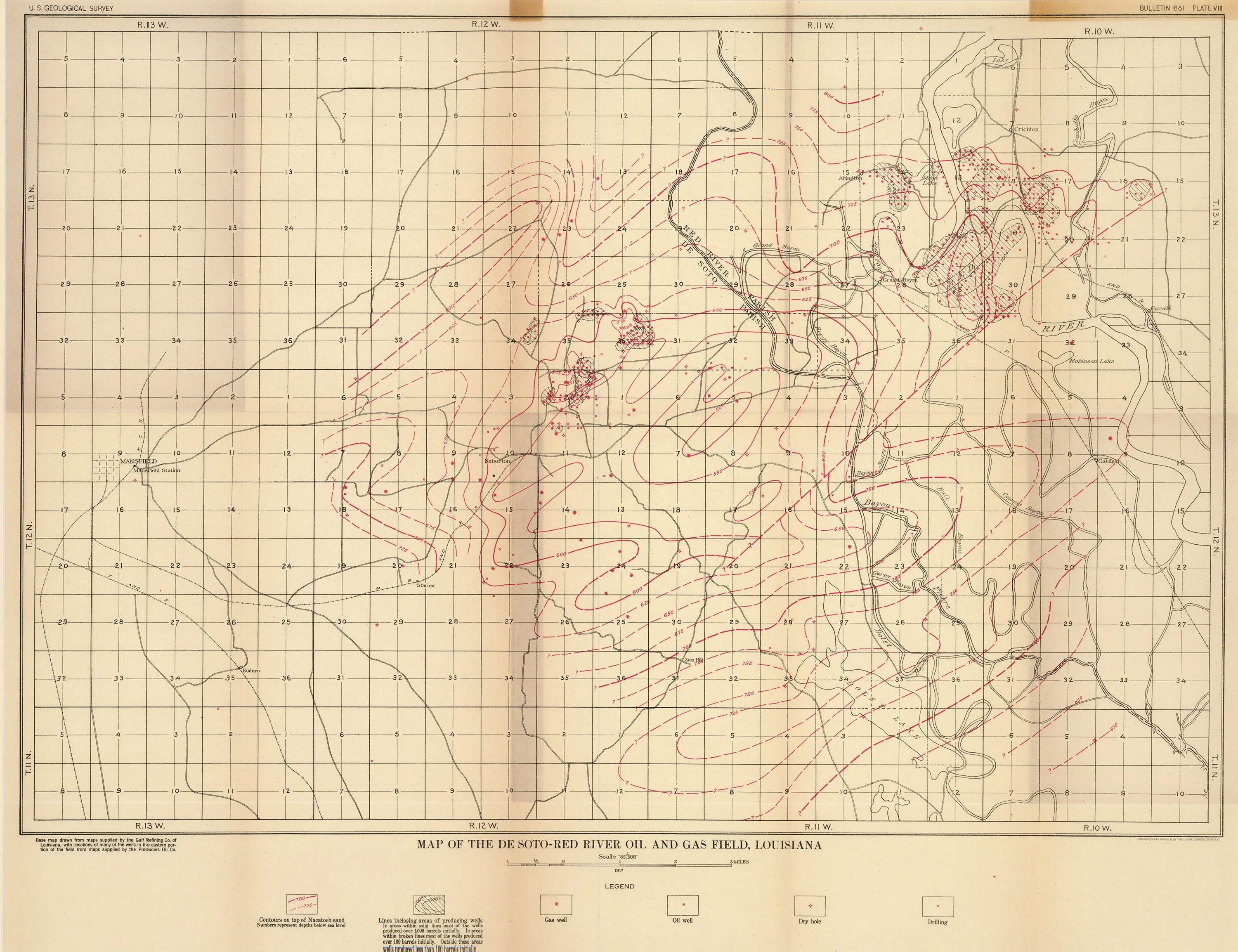
Geologic survey of the oil and gas field located at the border between the De Soto and Red River Parishes of Northwest Louisiana. Labels gas wells, oil wells, drilling areas, and dry holes, and uses contours to mark changes in elevation.
- Title: Map of the De Soto-Red River Oil and Gas Field, Louisiana
- Author: U. S. Geological Survey
- Date: 1918
- Medium: Chromolithograph
- Condition: Good - age toning, wear and discoloration along fold lines, discoloration from old adhesive in upper margin
- Inches: 22 1/2 x 17 1/2 [Image]
- Centimeters: 57.15 x 44.45 [Image]
- Product ID: 101134
Geologic survey of the oil and gas field located at the border between the De Soto and Red River Parishes of Northwest Louisiana. Labels gas wells, oil wells, drilling areas, and dry holes, and uses contours to mark changes in elevation.
$138.25
Original: $395.00
-65%Map of the De Soto-Red River Oil and Gas Field, Louisiana: U. S. Geological Survey 1918—
$395.00
$138.25Description
- Title: Map of the De Soto-Red River Oil and Gas Field, Louisiana
- Author: U. S. Geological Survey
- Date: 1918
- Medium: Chromolithograph
- Condition: Good - age toning, wear and discoloration along fold lines, discoloration from old adhesive in upper margin
- Inches: 22 1/2 x 17 1/2 [Image]
- Centimeters: 57.15 x 44.45 [Image]
- Product ID: 101134
Geologic survey of the oil and gas field located at the border between the De Soto and Red River Parishes of Northwest Louisiana. Labels gas wells, oil wells, drilling areas, and dry holes, and uses contours to mark changes in elevation.